DJI Matrice 5T
Perfect in every context.
A single compact drone with LiDAR, mmWave radar and omnidirectional vision, rated IP55. 1K thermal imaging and colour night vision reveal detail day and night; up to 59 minutes of flight time and Relay modes extend the operating range. Open on-board AI and DJI Pilot 2 plug-ins for emergency response, inspection and surveying even in the harshest environments.
Supplied, configured and supported by DroneBase — DJI Gold 5 Dealer, ISO 9001:2015 certified, a DJI Enterprise reference point in Italy since 2012.
One compact drone,
ready for every mission
DJI Matrice 5T packs into a compact IP55 body a native 1K thermal camera, 50 MP wide, medium-tele and telephoto cameras, a laser rangefinder and colour night vision. Its omnidirectional obstacle sensing brings LiDAR, mmWave radar and six-direction vision together for the first time on a compact DJI enterprise drone. Open on-board AI, O4 Enterprise transmission up to 40 km with Relay modes, and integration with DJI FlightHub 2 and DJI Terra complete a system built for emergencies, security, inspection and surveying.

1K thermal imaging and advanced night vision

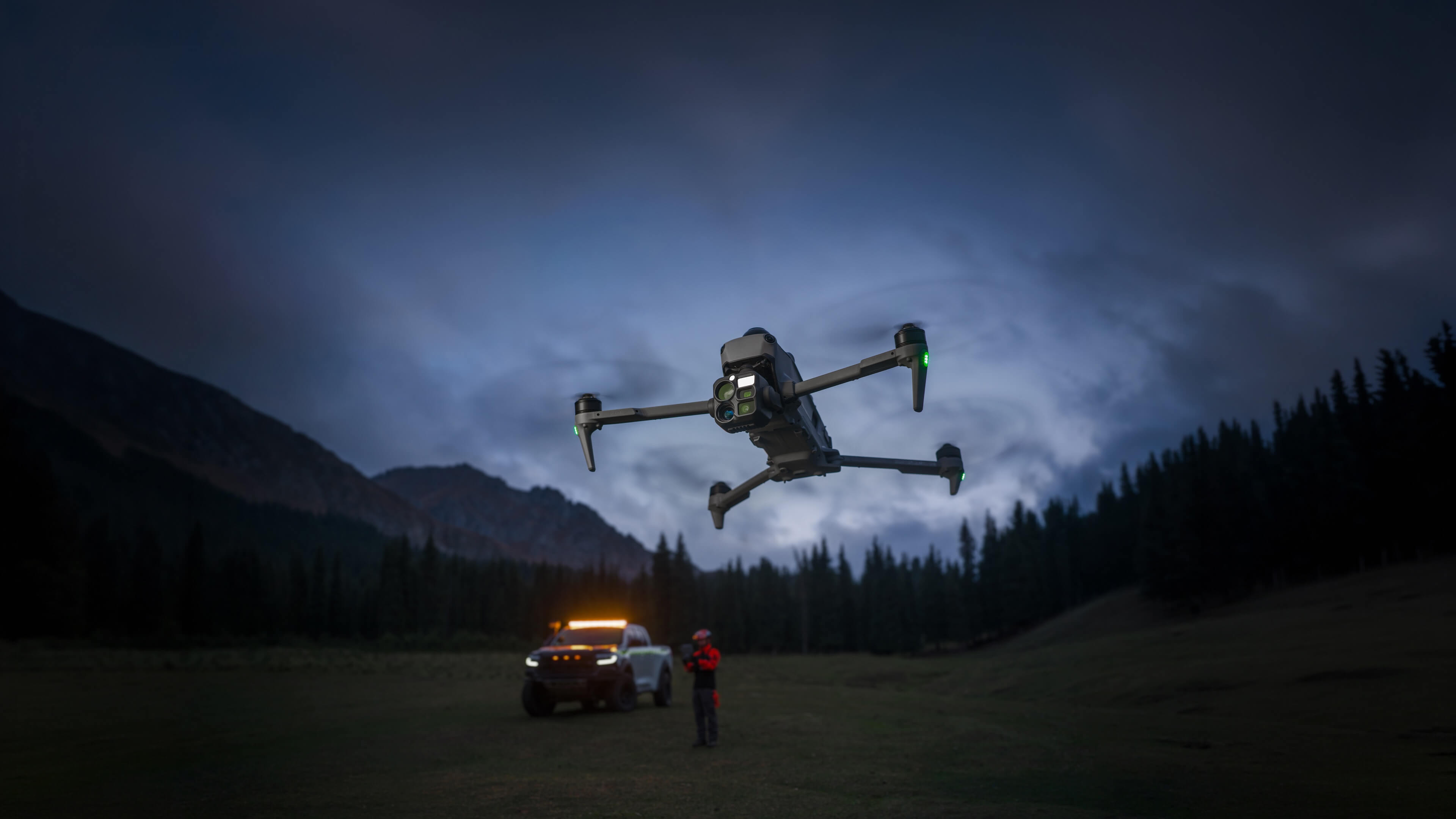
Omnidirectional sensing, IP55 ingress protection

Open Edge AI, intelligence on site
O4 Enterprise transmission with relay modes

Powerful propulsion, extended flight time

High-precision surveying, fast modelling

Multi-mission adaptability, custom Pilot plug-ins

Next-generation core accessories

1K thermal imaging,
advanced night vision
Four sensors,
one flight
A native 1K infrared thermal camera, a wide camera for colour night vision, a medium-tele lens and a 50 MP telephoto: Matrice 5T covers daytime checks, night-time security and close-up inspections without switching aircraft between scenarios.

Native 1K thermal
Native 1280×1024 resolution — four times the pixels of a 640×512 sensor — with UHR imaging up to 2560×2048 at 30 fps: heat anomalies stay sharp even against complex backgrounds.

Wide, colour night vision
A 1/0.98″ sensor and fast f/1.8 aperture: with AI low-light optimisation the ISO reaches 1,600,000, for vivid colour imagery down to 0.01 lux.

Medium-tele 50 MP
A 50 MP sensor with 3× optical zoom resolves crisp detail at medium range: it spots bolts and cracks at 10 m and reads substation instruments during line and bridge inspections.

Telephoto 50 MP
11× optical and 176× hybrid zoom: it reads licence plates up to 400 m away. An RYYB matrix and IR-cut filter tuning push monochrome night vision to lower lux thresholds.
Measure, illuminate,
fuse the images
A laser rangefinder, NIR auxiliary light and dual-light fusion turn every shot into an operational tool: mark assets, light up the scene and check temperatures right on the controller.

Laser rangefinder up to 3 km
Precise targeting, line drawing and area calculation to quickly mark assets or measure the perimeter of a wildfire.

NIR auxiliary light
A NIR illuminator delivers up to 100 m of effective lighting, complementing the telephoto's monochrome night vision for clearer close-up detail.

Dual-light fusion
Thermal and visible streams fused on the controller, with a dial-adjustable ratio and a split screen showing up to 3 simultaneous feeds from wide, tele, thermal, map and Vision Assist.

Omnidirectional sensing,
IP55 ingress protection
Operates where
others stop
IP55 ingress protection against dust and rain and a -20 °C to 50 °C operating range: Matrice 5T flies reliably even in the toughest conditions, keeping obstacle sensing active in every direction.
Cable-level obstacle sensing
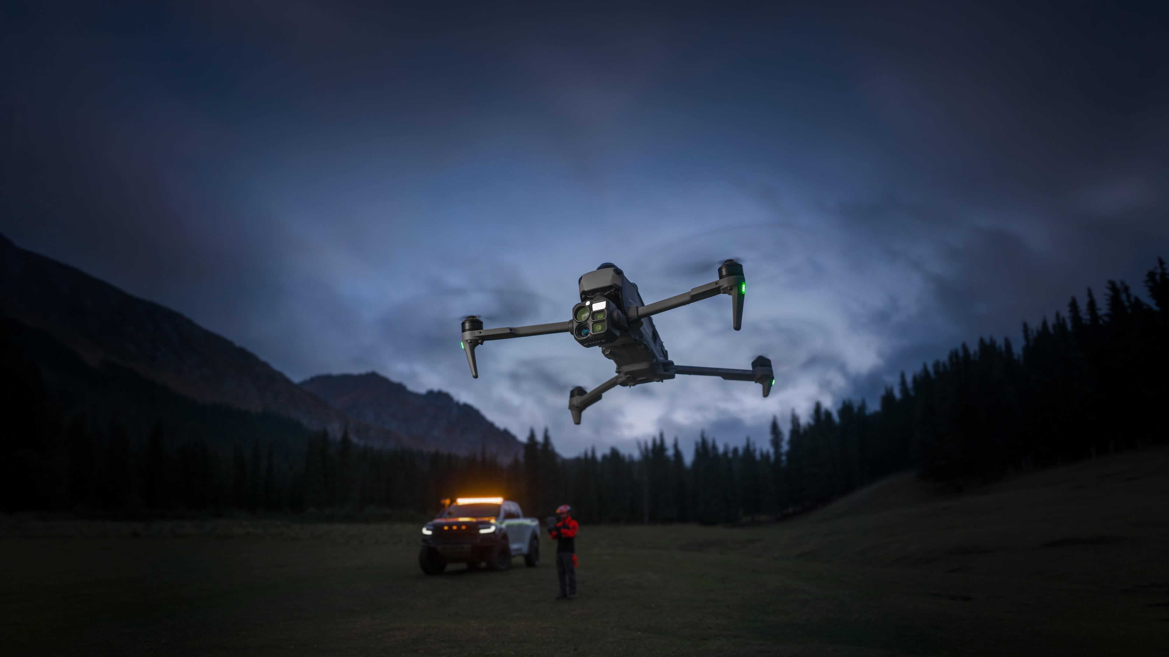
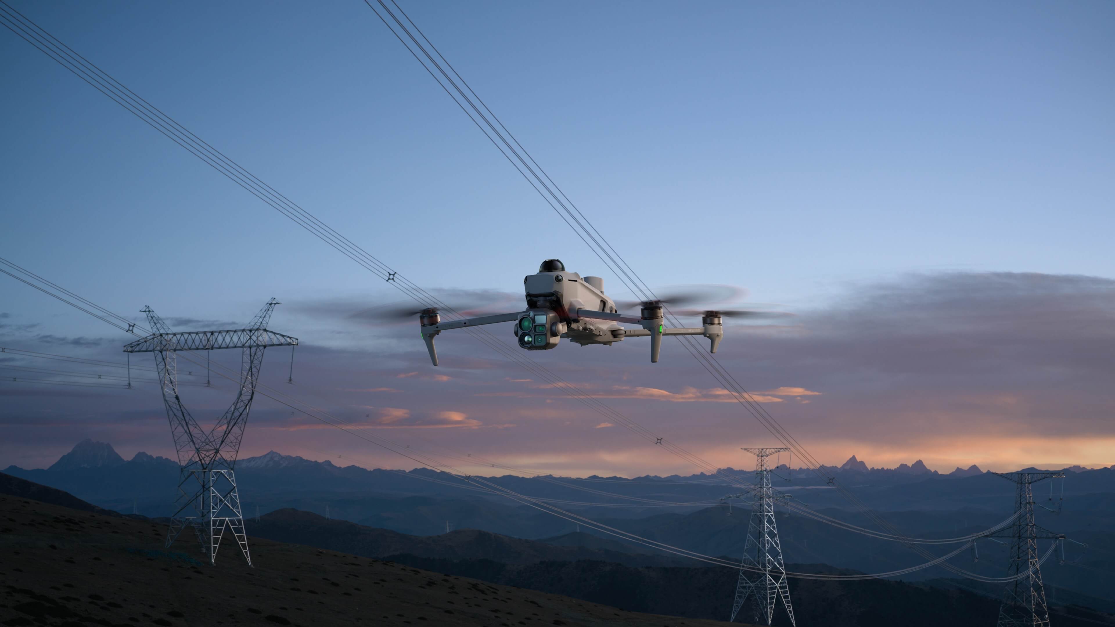
For the first time on a compact DJI enterprise drone, LiDAR, mmWave radar and omnidirectional vision work together: LiDAR detects thin obstacles at night and spots power lines up to 32 m away, while mmWave radar sees through fog, rain and dust.

Safety in low light
Colour fisheye sensors hold visual positioning down to 0.5 lux and Vision Assist delivers colour imagery. In the city, vision and LiDAR cooperate; in total darkness in the wild, LiDAR alone detects obstacles ahead of the aircraft.

Precise even
without GNSS
Where the satellite signal is weak or absent, Matrice 5T fuses visual and radar data to map the environment in real time; integrated ADS-B and RID receivers add awareness of the surrounding airspace.

Weak-GNSS operations
Under bridges, in deep canyons or among skyscrapers, vision-and-radar fusion maps the environment in real time for stable positioning and smooth flight.

Airspace awareness
Integrated ADS-B and RID receivers detect nearby manned and unmanned aircraft in real time and issue timely alerts, helping to prevent collisions.
Six-direction vision
The omnidirectional vision system keeps obstacle sensing active across 360°, for safe flight even in congested, poorly lit urban areas.

Open Edge AI,
intelligence on site
Over 20 object
types, in real time
Built-in AI models detect more than 20 object types and analyse thermal and visible streams in parallel on a split screen, quickly locking onto vehicles, vessels, fires and other targets. Open edge processing also accepts third-party models.
Multimodal cloud detection
With DJI Pilot 2 connected to DJI FlightHub 2, cloud computing lets you search for objects using text or image prompts: a multimodal LLM interprets the request, detects the targets and triggers alerts across every scenario.

AI patrol routes
Outline an area on the map and the system generates an efficient patrol route: it detects objects in real time, runs custom actions — hover, photo, video, audio — and afterwards compiles the results into detailed reports.

O4 Enterprise transmission,
multiple relay modes
Up to 40 km,
stable even in the city
Sub-2G band and a high-gain smart antenna array on the controller push transmission up to 40 km. Adaptive multi-band switching counters urban interference, and the two integrated DJI Cellular Dongle 2 modules switch automatically to the best network link, keeping the signal stable despite obstructions.

Maximum range
With no obstacles, video transmission reaches 40 km, using a high-gain antenna array and the sub-2G band for a long-range link.

Urban anti-interference
Adaptive multi-band switching selects the clearest frequency in real time, preserving the link in crowded urban environments.
Dual Cellular Dongle 2
Two integrated DJI Cellular Dongle 2 modules, with dual SIM, switch automatically to the optimal network to keep video stable beyond physical obstacles.
Extend the range,
four ways
One or more relay drones expand the operating area by coordinating controllers and aircraft: choose the configuration to match the mission, from a single signal extension to large-scale multi-drone operations.
One relay, two controllers
A single relay drone extends the signal for one operational aircraft, expanding the entire operating range.

One relay, one controller
One controller flies both the relay and the operational drone: the relay intelligently adjusts its attitude and hover position to keep an optimal link.
One relay, three aircraft
A single relay drone transmits data for two operational aircraft: ideal for coordinated, large-scale multi-drone operations.

Two relays in sequence
Two relay drones transmit data in sequence to the operational aircraft, further extending the range.

Powerful propulsion,
extended flight time
Up to 59 minutes,
with full redundancy
A high-energy-density 215 Wh battery extends flight time to 59 minutes: a single take-off covers a wider area and reduces battery swaps. Low-noise propellers, fast take-off and redundant propulsion complete a reliable system even in emergencies.

Extended flight time
A 215 Wh battery for prolonged flight: more area covered per take-off, fewer swaps and fewer trips between sites.

Low-noise propellers
A bionic "bat-wing" tip design optimises airflow and vortices, cutting flight noise to as low as 80 dB(A) while boosting aerodynamic efficiency.

Fast take-off
In an emergency, Matrice 5T powers up and takes off in 10 seconds and flies at up to 23 m/s, reaching the scene immediately for critical live feeds.

Redundant propulsion
Single-axis thrust up by 98% vs Matrice 4T. Phase-loss detection reacts in milliseconds: even with a fault, the arm still delivers 50% thrust for a safe landing.

High-precision surveying,
fast modelling
Centimetre accuracy,
no GCPs
Paired with DJI Terra, Matrice 5T delivers centimetre-level surveying without ground control points, handling both routine inspections and high-precision aerial mapping. Models and orthomosaics are generated quickly, right on the controller.

High-precision surveying
With DJI Terra, accuracy is centimetre-level without GCPs, for routine inspections and high-precision aerial mapping from a single aircraft.

2D thermal mapping
DJI Terra stitches thermal images using visible-light positioning as a reference: 2D thermal orthomosaics for large-scale inspections of solar farms and power grids.

Fast on-site modelling
In flight the controller generates point clouds or 2.5D models with direct annotation and measurement: processing 200 photos takes just 8 minutes.

Smart 3D capture
A rough model on the controller plans routes that closely follow the subject's surface, completing detailed modelling in a single flight.
Multi-mission adaptability,
custom Pilot plug-ins
From power lines
to shipboard take-off
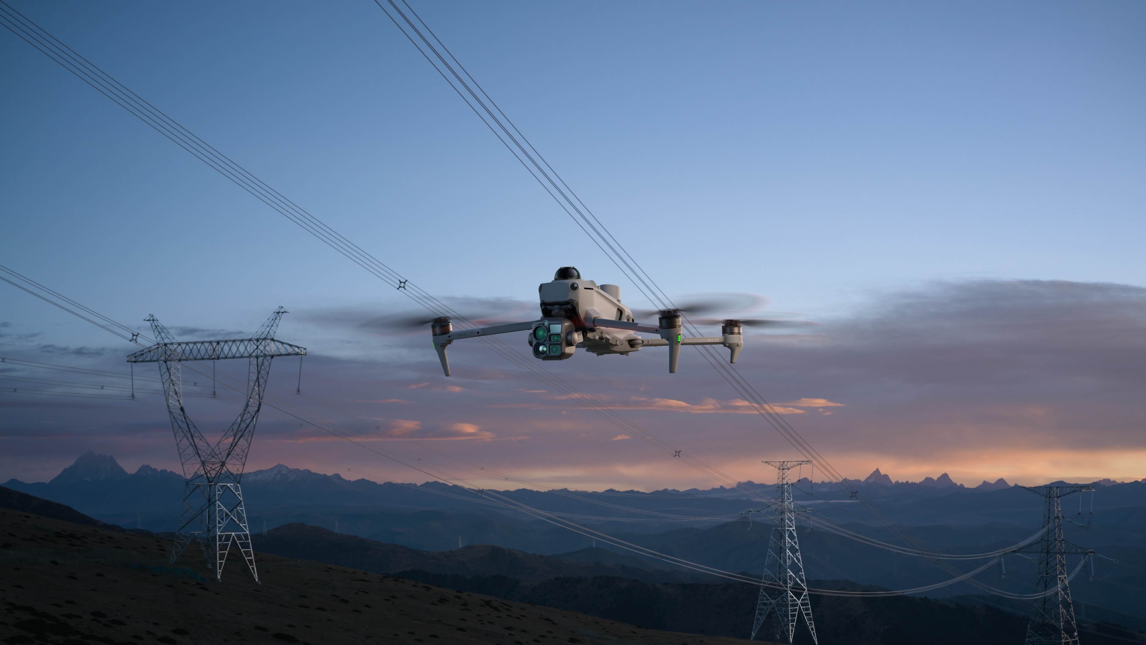
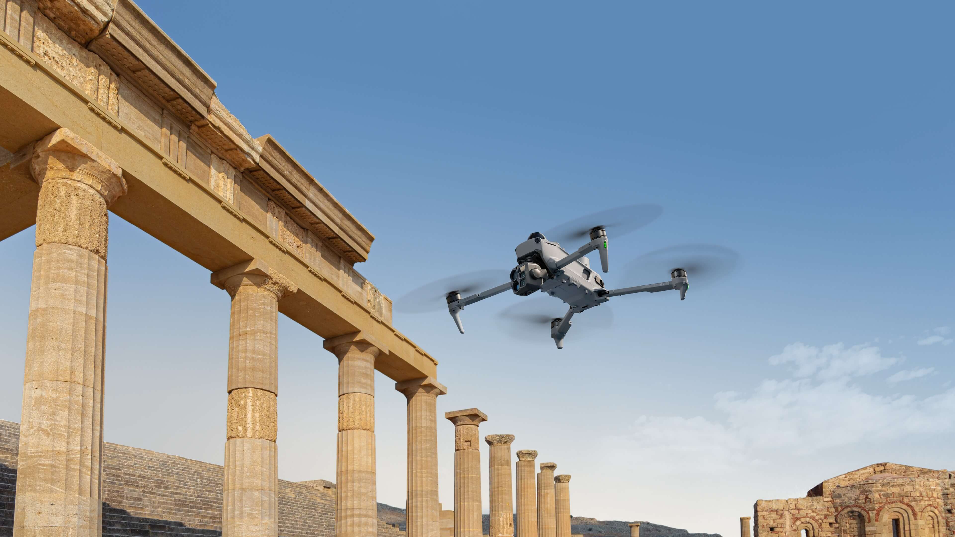
AI foreground stabilisation, LiDAR-guided power line inspection, take-off from moving vessels and custom plug-ins for DJI Pilot 2: Matrice 5T adapts to the scenario instead of imposing a fixed workflow.
Foreground stabilisation
An AI segmentation model separates the subject from the background in telephoto shots, cutting interference for sharp focus and well-defined detail.

Power line inspection
Top-mounted LiDAR detects conductors and ground wires and locks onto the line, flying automatically sideways to find broken strands and suspended objects.

Shipboard take-off
For maritime patrols and inspections, Matrice 5T takes off from moving vessels and, once the mission is complete, recognises the landing-pad pattern on the deck.

Custom Pilot 2 plug-ins
Developers integrate tailored features into DJI Pilot 2 as floating windows, with no standalone app: teams focus on their core business.
Ready for every
operational mission
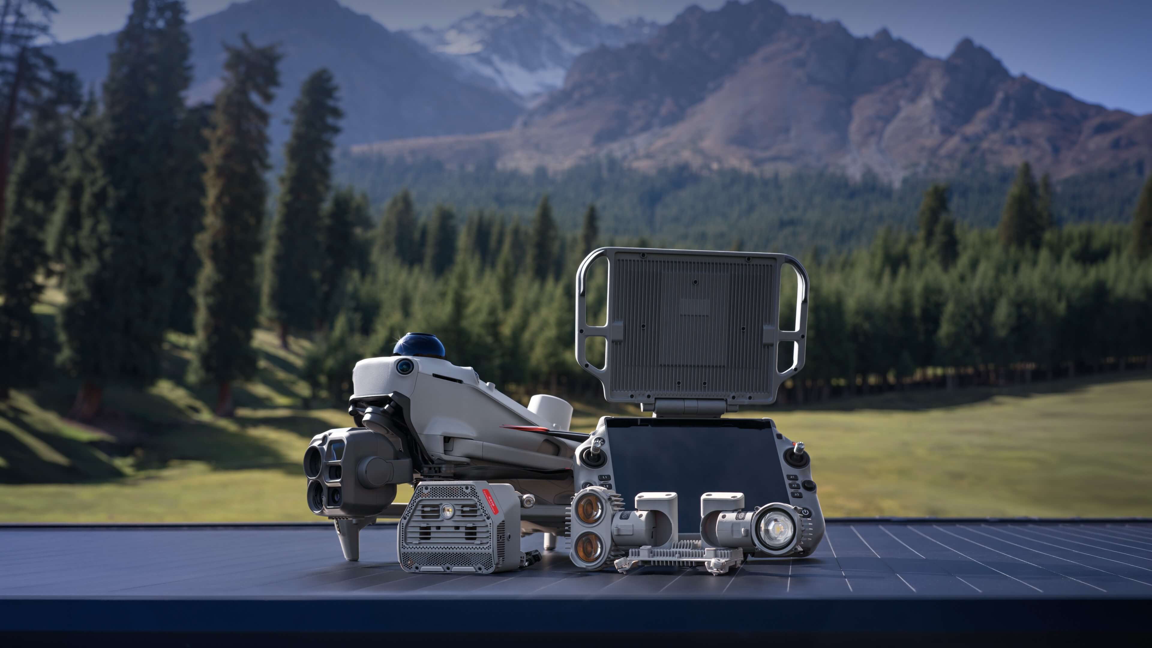
DJI RC Plus 3 Enterprise
A 7.44″ 1920×1440 display at 2000 nit and 60 Hz, a 6933 mAh battery, IP54, Android 16, dual-band Wi-Fi and Bluetooth 5.4 for bright, responsive control in the field.

AL2 searchlight
Just 175 g and up to 60 W: flood (2.5 lux at 100 m) or spot (10 lux at 100 m) lighting for night searches and site surveys.

AS2 speaker
194 g, 35 W and 120 dB at 1 m with up to 400 m range, IP55: aerial voice broadcasting for emergency management and public safety.

Fast charging
A 515 W charging adapter and station with sequential charging of three batteries and a USB-C output, for reduced downtime between missions.
From field to cloud,
one workflow
In-flight control
Automated Cruise, FlyTo, Smart Track and POI tasks, a split screen with preset combinations of wide, tele, thermal, map and Vision Assist, and open plug-ins for third-party features.
Cloud coordination
Cloud control of aircraft and gimbal, remote take-off and landing, route planning, target search with a multimodal LLM, and simultaneous live feeds for air-ground multi-drone cooperation.
Reconstruction and maps
2D, 3D and point-cloud models for GIS, emergencies and construction, with offline PPK, D-RTK 3 import, 2D thermal mapping and reconstruction from video frames.
Thermal analysis
The DJI Thermal Analysis Tool 3.0 marks, analyses and processes thermal images to pinpoint abnormal temperature spots after the mission.
Protected at every stage
Media data encryption
Photos, videos and mission data are protected by encryption, preventing unauthorised access to the captured material.
Local Data Mode
Local Data Mode halts unnecessary network communications, keeping sensitive information within the organisation.
Encrypted video transmission
Video transmission is protected with AES-256 encryption, safeguarding the confidentiality of real-time operational feeds.
Clear logs with one tap
Activity logs can be cleared with a single tap, for simple, compliant management of the data lifecycle.
Designed for many
sectors and scenarios


DJI Matrice 5T in action
From multi-sensor imaging to omnidirectional sensing: the system at work in real-world scenarios.
Everything you need
to get started
A complete turnkey solution. DroneBase supports you from configuration to assistance, with training and paperwork included on request.
The combo includes
- DJI Matrice 5T×1
- DJI RC Plus 3 Enterprise×1
- DJI Matrice 5T battery×3
- 515 W charging station×1
- DJI Care Enterprise Plus · 1st yearincluded
Let's talk: we configure the system around your needs and support you from supply to assistance.
Request information →Key specifications
Aircraft
- Take-off weight~2239 g · max 2639 g
- Flight timeUp to 59 min (54 min hovering)
- Max flight distance45 km
- Max speed23 m/s
- Wind resistance12 m/s · IP55
- Operating temperature−20 °C ~ 50 °C
Cameras
- SensorsWide / medium-tele / tele 50 MP
- Telephoto zoomOptical 11× · hybrid 176×
- ISO (night)Up to 1,600,000
- Video4K at 30 fps · H.265
- Laser rangefinderUp to 3 km
Thermal & sensing
- Thermal camera1280×1024 · UHR 2560×2048 · 32× zoom
- NETD≤50 mK
- Obstacle sensingLiDAR · mmWave radar · 6-direction vision
- LiDAR power linesUp to 32 m
- AirspaceIntegrated ADS-B + Remote ID
Transmission & AI
- Video systemO4 Enterprise Enhanced
- Max rangeUp to 40 km (Relay modes)
- ConnectivityDual DJI Cellular Dongle 2 · sub-2G
- On-board AIOver 20 object types · third-party models
- Data securityAES-256 · Local Data Mode
Figures stated by DJI on mass-production models in a controlled test environment; results may vary with external conditions, usage and firmware versions. Values are indicative and subject to confirmation. Full technical specifications available on request.
Request information about the DJI Matrice 5T
Fill in the form to get information, book a demo or talk to one of our technicians. We reply within 48 working hours.