Surveying & Mapping
Showing 1–24 of 49 results
-
✓ Ready to ship
-
✓ Ready to ship
-
✓ Ready to ship
-
✓ Ready to ship
-
✓ Ready to shipDJI Terra, Software
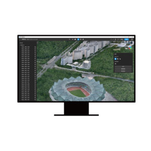
DJI Terra Flagship Permanent (Offline)
DJI’s most advanced 2D/3D mapping and modelling software with permanent offline licensing and exclusive Flagship features. Includes Gaussian Splatting and multi-device management for professional projects. Available at DroneBase, DJI Gold 5 Dealer.
SKU: DJTF04 -
✓ Ready to shipDJI Terra, Software
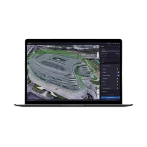
DJI Terra Standard + Modify Flagship Permanent
Complete DJI Terra Standard + Modify software with permanent Flagship licence for advanced mapping, photogrammetry and 3D modelling. Includes all professional functions without expiration. Available at DroneBase, DJI Gold 5 Dealer.
SKU: DJTM02 -
✓ Ready to ship
-
✓ Ready to ship
-
✓ Ready to ship
-
✓ Ready to ship
-
✓ Ready to ship
-
✓ Ready to ship3D Lidar, DJI Matrice 4 Series
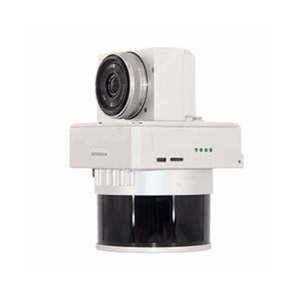
GoSLAM X1 – Drone SLAM Scanner for Indoor and Confined Space Inspection
 3D Lidar, DJI Matrice 4 Series
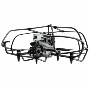
GoSLAM X1 – Drone SLAM Scanner for Indoor and Confined Space Inspection
SLAM laser scanner in an anti-collision cage, plug & play on the DJI Matrice 4E and Matrice 4T, for 3D surveying of tunnels, tanks, underground spaces and confined spaces.
- 360° × 59° scanning field at 200,000 points per second
- Stated accuracy up to 1 cm, range up to 70 m
- No GPS required: positioning built by the SLAM algorithm
- Real-time colour point cloud, visible on the remote controller during flight
- Quick-mount anti-collision cage, 72 × 65 × 23 cm footprint
- Break-point resume with automatic alignment, unlimited resumes
- 128 GB TF card and integrated 5G module for remote viewing
- Post-processing software, 3D Gaussian reconstruction and viewer included
SKU: GS-X001-02 -
✓ Ready to shipMagnetometer
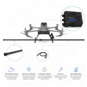
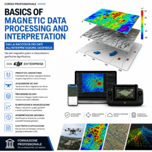
Magnetometer Integration Kit DJI Matrice 350/400
The Magnetometer Integration Kit DJI Matrice 350/400 is the complete solution for professional use of SENSYS MagDrone magnetometers on latest generation DJI Matrice. Includes the SPH Engineering SkyHub 3 onboard computer, radar altimeter, Smart Cable v3 and software packages for True Terrain Following and payload management. Plug & play installation for geophysical, archaeological, environmental and UXO surveys. Distributed by DroneBase.
SKU: DB-SPHICM -
✓ Ready to shipMagnetometer, UgCS - SPH
SENSYS MAGNETO® Desktop | Magnetic Data Analysis Software
The SENSYS MAGNETO® Desktop is the professional SENSYS GmbH software for the comprehensive analysis of magnetic and electromagnetic data from area and borehole surveys. Automatic calculation of position and size of suspicious objects, color-coded maps, multi-dataset management, integrated text editor for reporting. Standard for UXO, archaeology, geophysics and offshore investigations. Compatible with the entire SENSYS ecosystem (MagDrone, MagWalk, MX, BM2). DroneBase is official reseller.
SKU: IS-SENSYS-MAGNETO -
✓ Ready to shipDJI Dock 3, DJI Matrice 4 Series, DJI Matrice 400, Drones
D-RTK 3 Multifunctional Station
High-precision GNSS station for real-time centimetre-level RTK corrections on DJI Matrice 4 drones. Supports global navigation systems and relay function for maximum operational range. Available at DroneBase, DJI Gold 5 Dealer.
SKU: DJMET11 -
✓ Ready to ship
-
✓ Ready to shipDJI Matrice 350 RTK series, DJI Matrice 400, DJI Zenmuse L2 Lidar
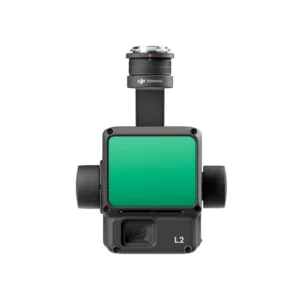
DJI Zenmuse L2 3D Lidar
DJI Zenmuse L2 aerial LiDAR with 4/3 CMOS 20 MP RGB camera: 4 cm vertical and 5 cm horizontal accuracy at 150 m, up to 1.2 million pts/s, 5 returns. For Matrice 350 RTK, Matrice 400 and 300 RTK, processed in DJI Terra. Setup and training by DroneBase.
SKU: n/a -
✓ Ready to shipDJI Matrice 400, DJI Payload, DJI Zenmuse L3
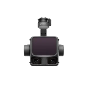
DJI Zenmuse L3 3D Lidar
DJI Zenmuse L3 long-range aerial LiDAR for the Matrice 400: 1535 nm laser, detection up to 950 m at 10% reflectivity, up to 16 returns and two 100 MP 4/3 CMOS RGB cameras. Survey kits, DJI Terra and training from DroneBase.
SKU: DJZL30 -
✓ Ready to shipDJI Matrice 350 RTK series, DJI Matrice 400, DJI Zenmuse P1 Gimbal
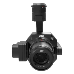
DJI Zenmuse P1
45 MP Full-Frame sensor with 3cm horizontal/5cm vertical accuracy without GCP for professional photogrammetry. Covers up to 3 km² in a single flight with 3-axis gimbal and TimeSync 2.0. Available at DroneBase, DJI Gold 5 Dealer.
SKU: DJZP02 -
Request availabilityDJI Matrice 350 RTK series, Drone DJI Mavic 3 Enterprise
D-RTK 2 High Precision GNSS Mobile Station
Centimetre-level precision for professional mapping with GPS, GLONASS, Beidou and GALILEO support. Real-time differential corrections for accurate geospatial data. Available at DroneBase, DJI Gold 5 Dealer.
SKU: DJE190 -
Request availability