
- Advanced mission planning: Create detailed flight paths with custom waypoints and specific actions for each mission phase.
- Efficient data processing: Quickly transform collected information into maps, 3D models and analytical reports.
- Integration with DJI hardware: Full compatibility with DJI drones, ensuring a seamless workflow.
- Topographic Surveys: Generates accurate maps for urban planning, civil engineering and agriculture.
- Industrial inspections: Monitors critical infrastructure such as power lines, pipelines and industrial facilities.
- Emergency management: Coordinates rescue operations and disaster response with real-time information.
Featured products
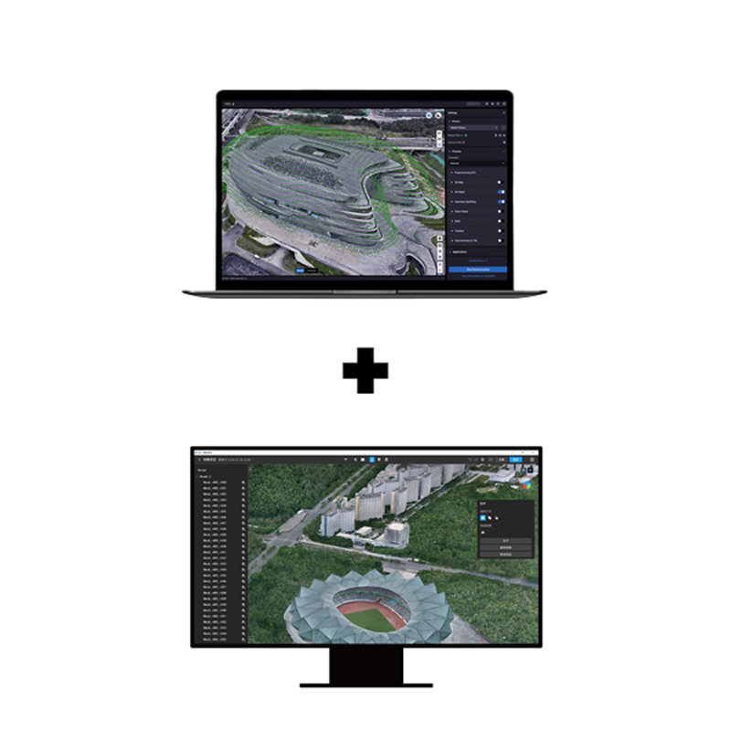
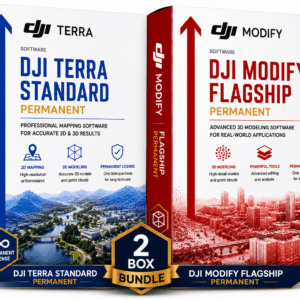
DJI Terra Flagship + Modify Flagship Permanent
Complete DJI Terra Flagship + Modify Flagship suite with lifetime permanent licence. Advanced mapping, Gaussian Splatting, LiDAR and profess
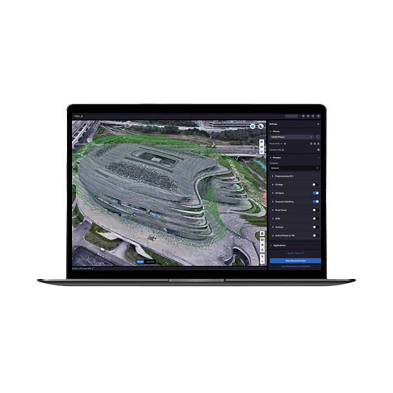
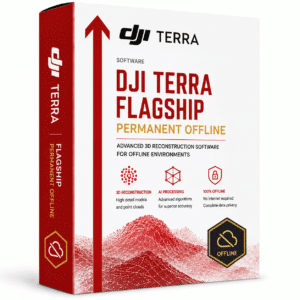
DJI Terra Flagship Permanent (Offline)
DJI's most advanced 2D/3D mapping and modelling software with permanent offline licensing and exclusive Flagship features. Includes Gaussian
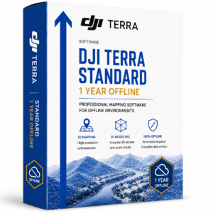
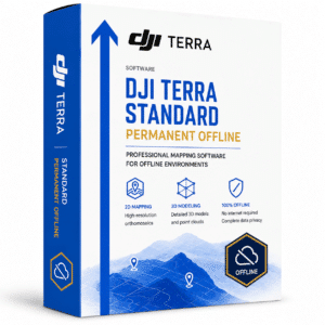
DJI Terra Standard Permanent (Offline)
Professional mapping software with permanent licence and offline operation. Process orthophotos, 3D models and multispectral analysis withou
Software
Showing 1–24 of 25 results
-
✓ Pronta consegna
-
✓ Pronta consegna
-
✓ Pronta consegna
-
✓ Pronta consegna
-
✓ Pronta consegnaDJI Terra, Software
DJI Terra Flagship Permanent (Offline)
DJI’s most advanced 2D/3D mapping and modelling software with permanent offline licensing and exclusive Flagship features. Includes Gaussian Splatting and multi-device management for professional projects. Available at DroneBase, DJI Gold 5 Dealer.
SKU: DJTF04 -
✓ Pronta consegnaDJI Terra, Software
DJI Terra Standard + Modify Flagship Permanent
Complete DJI Terra Standard + Modify software with permanent Flagship licence for advanced mapping, photogrammetry and 3D modelling. Includes all professional functions without expiration. Available at DroneBase, DJI Gold 5 Dealer.
SKU: DJTM02 -
✓ Pronta consegna
-
✓ Pronta consegna
-
✓ Pronta consegna
-
✓ Pronta consegna
-
✓ Pronta consegna
-
✓ Pronta consegnaMagnetometer, UgCS - SPH
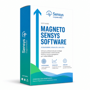
SENSYS MAGNETO® Desktop | Magnetic Data Analysis Software
The SENSYS MAGNETO® Desktop is the professional SENSYS GmbH software for the comprehensive analysis of magnetic and electromagnetic data from area and borehole surveys. Automatic calculation of position and size of suspicious objects, color-coded maps, multi-dataset management, integrated text editor for reporting. Standard for UXO, archaeology, geophysics and offshore investigations. Compatible with the entire SENSYS ecosystem (MagDrone, MagWalk, MX, BM2). DroneBase is official reseller.
SKU: IS-SENSYS-MAGNETO -
✓ Pronta consegna
-
✓ Pronta consegna
-
✓ Pronta consegnaDJI FlightHub 2, Software
DJI FlightHub 2 Addon LiveStream 10,000 Minutes
10,000 minutes of live streaming for DJI FlightHub 2, enabling real-time monitoring of drone operations in HD quality. Complete fleet control and immediate field visibility. Available at DroneBase, DJI Gold 5 Dealer.
SKU: DJF203 -
✓ Pronta consegna
-
✓ Pronta consegna
-
✓ Pronta consegna
-
✓ Pronta consegna
-
✓ Pronta consegnaGeoradar, Georadar & Magnetometer Combo, UgCS - SPH
Georadar Drone – Zond Aero 1000 NG GPR
Ultra-lightweight GPR system for geophysical and archaeological surveying on DJI Matrice 300/350. Single unit with Ethernet and WiFi connectivity for real-time analysis. Available at DroneBase, DJI Gold 5 Dealer.
SKU: n/a -
✓ Pronta consegna
-
✓ Pronta consegna


Advanced Photogrammetry and Data Processing
DJI Terra software delivers industry-leading photogrammetry capabilities that transform raw aerial imagery into precise 2D orthomosaics and detailed 3D models. The advanced reconstruction algorithms process thousands of images efficiently, generating accurate point clouds and textured meshes suitable for professional surveying, construction monitoring, and asset inspection workflows.
With real-time mapping capabilities, teams can visualize results immediately during flight operations, enabling rapid decision-making and reducing project timelines significantly.
Comprehensive Mission Planning and Flight Optimization
The integrated mission planning tools allow precise flight path design with automated waypoint generation, ensuring optimal data collection for every project type. Smart flight modes adapt to terrain variations and mission requirements, while safety features maintain compliance with aviation regulations.
Offline Processing and Permanent Licensing Benefits
Our permanent offline licenses eliminate ongoing subscription costs while ensuring complete data security through local processing capabilities. This approach is particularly valuable for government contractors, defense applications, and organizations with strict data sovereignty requirements.
Permanent licensing provides long-term cost predictability and operational independence, making it ideal for high-volume users and enterprise deployments.
Multi-Industry Applications and Workflow Integration
DJI Terra integrates seamlessly with industry-standard CAD and GIS platforms, supporting popular formats including LAS, PLY, and GeoTIFF. The software serves diverse sectors including construction progress monitoring, mining volume calculations, precision agriculture analysis, and infrastructure inspection documentation.
Professional Support and Certification
As a DJI Gold 5 Dealer with ISO 9001:2015 certification, DroneBase provides comprehensive technical support, training programs, and workflow consultation to maximize your software investment. Our expertise ensures proper implementation and optimal performance across your drone operations.
Why buy from DroneBase
DJI Gold 5 Dealer Status
Highest level DJI certification ensuring expert product knowledge and priority support access.
ISO 9001:2015 Certified
Quality management certification guaranteeing consistent service standards and reliable support.
Professional Training Included
Comprehensive software training programs to maximize your team's operational efficiency.
Local Italian Support
Rimini-based technical support team providing personalized assistance in your timezone.
Frequently asked questions
Pricing varies based on licensing type and volume requirements. Contact our Rimini office for detailed quotations on permanent licenses, which offer significant long-term savings compared to subscription models.
Yes, our permanent offline versions operate completely independently without internet requirements, ensuring data security and operational continuity in remote locations.
DJI Terra supports all professional DJI drone platforms including Matrice, Phantom 4 RTK, and Mavic series, with optimized workflows for each platform's specific capabilities.
With RTK-enabled drones, DJI Terra achieves centimeter-level accuracy in both horizontal and vertical measurements, meeting professional surveying standards for most applications.
The software exports industry-standard formats including GeoTIFF, LAS point clouds, OBJ models, and KML files, ensuring compatibility with major CAD and GIS platforms.
Yes, DroneBase includes comprehensive training sessions covering software operation, workflow optimization, and best practices for your specific industry applications.
Want a consultation or a demo?
Our DJI Enterprise certified technicians help you choose the right configuration. No commitment.
+39 0541 1790411


