Performing efficient aerial surveys requires seeing the invisible. That's why Mavic 3 Multispectral has two ways of seeing. It combines an RGB camera with a multispectral camera to scan and analyze crop growth with the utmost clarity. Agricultural production management requires precision and data, and Mavic 3M offers both.
Compact and portable
Foldable for easy storage
Multispectral camera
4 × 5MP G/R/RI/NIR
RGB camera
20 MP 4/3 CMOS, mechanical shutter
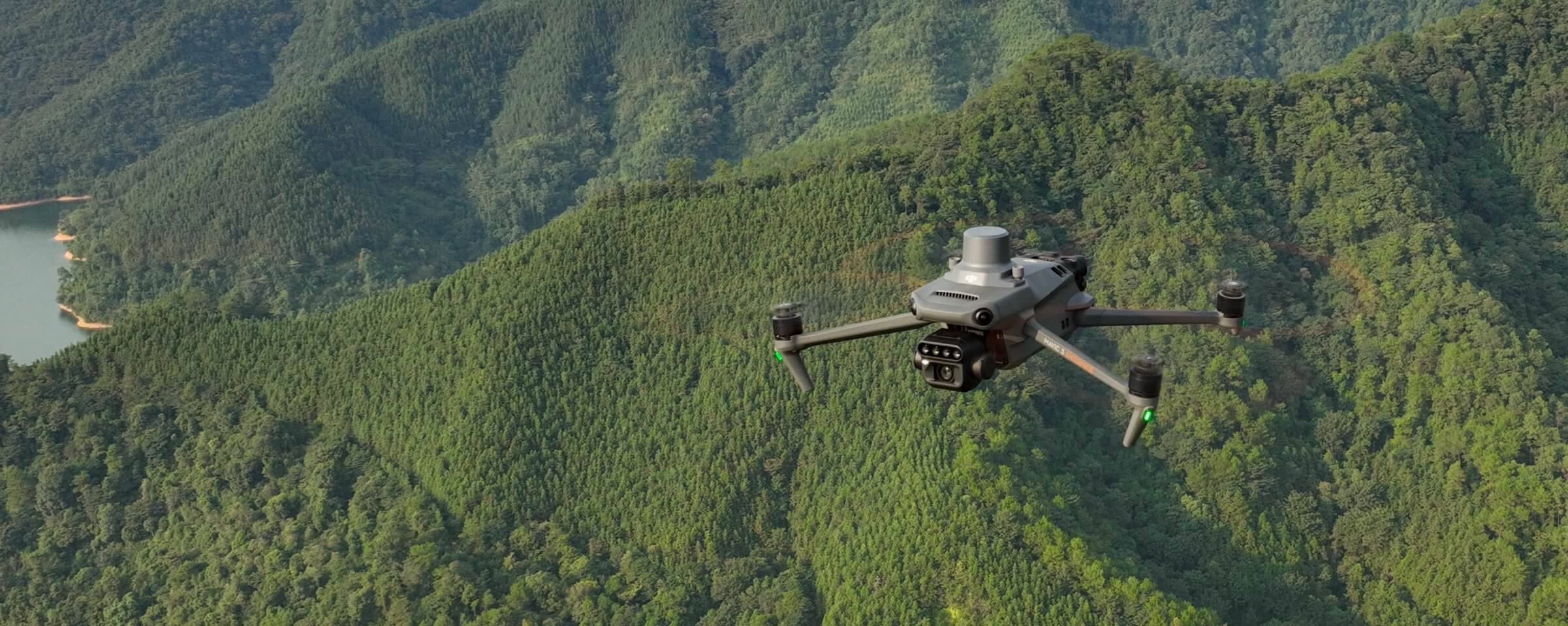
Stable and safe
Omnidirectional obstacle avoidance [1] Transmission distance of 15 km [2]
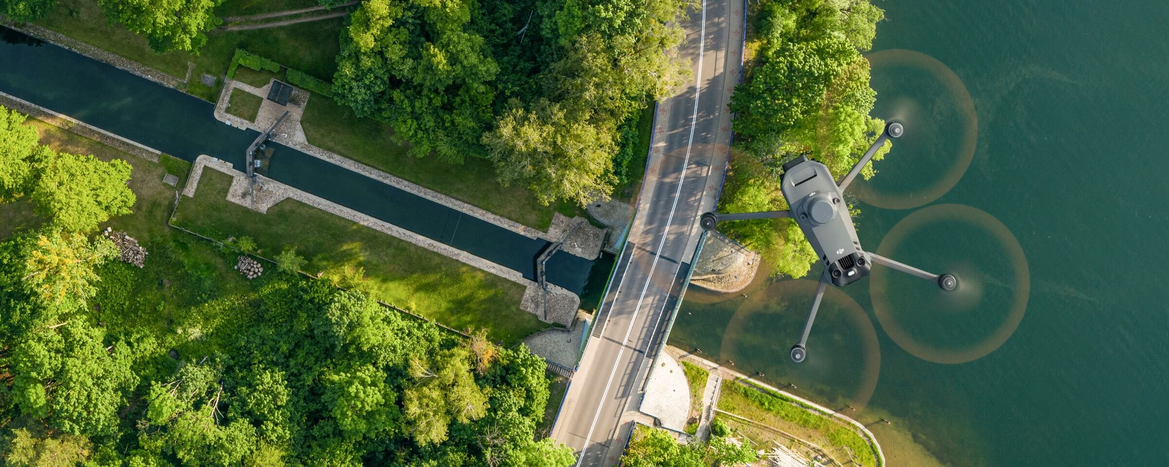
Precise positioning
Millimeter RTK positioning Time synchronization in microseconds
Mavic 3M with RTK module for millimeter positioning. The flight control, camera, and RTK module synchronize in microseconds to accurately acquire the position of the center of the images from each camera. This enables Mavic 3M to perform high-precision aerial sensing without using ground control points.
Efficient and reliable battery
Ultra-long battery life, fast sequential shots
43 minutes [4]
Cruise time
2 square kilometers [3]
A single flight can complete mapping operations over an area of 2 square kilometers.
O3 transmission integrates two transmit signals and four receive signals to support ultra-long transmission distances of 15 km.
Omnidirectional obstacle detection [1], aerial detection and terrain tracking
The aircraft is equipped with several wide FOV vision sensors that accurately detect obstacles in all directions to avoid omnidirectional obstacles. Aerial terrain follow surveys can be performed easily in steep terrain.
Application uses
Mapping of orchards
Mavic 3M enables aerial terrain follow surveys, even in sloping terrain. Together with DJI Terra or DJI SmartFarm Platform [6] to reconstruct high-resolution orchard maps, automatically identify the number of trees, distinguish trees from other obstacles or objects, and generate three-dimensional operational paths for agricultural drones, making operations safer and more efficient.
For rice fertilization, cotton growth regulation, and foliar fertilizer spraying on potatoes, Mavic 3M is used to obtain multispectral images of crops. DJI Terra or DJI SmartFarm Platform [6] are then able to generate NDVI maps and other vegetation indices, capturing differences in crop potential and generating prescription maps that allow agricultural drones to perform variable rate applications. This enables users to reduce costs, increase yields and protect the environment.
Mavic 3M is capable of performing automatic terrain exploration. Field exploration images support uploading to DJI SmartFarm Platform [6] in real time via a 4G network. It can detect anomalies, such as emergence deficiencies, weed infestation and crop lodging in a timely manner. It can also conduct intelligent analysis, such as cotton seedling identification and rice production tests, using AI identification for real-time sharing of crop growth information, indications of agronomic activities, and easy management of 0.7 square kilometers of farmland by one person.
Environmental monitoring and natural resource surveys
Mavic 3M can also be used in surveys of the environment and natural resources, such as water enrichment monitoring, forest distribution surveys, urban green areas, and more.
Monitoring of water eutrophication.
Surveys of forest cover
Urban vegetation cover
Open ecosystem
Cloud API
Mavic 3M can be connected directly to a third-party cloud platform via Pilot 2's built-in DJI Cloud API based on the MQTT protocol. There is no need to develop an app separately to enable the transmission of APR equipment information, live streaming, photo data, and other information.
MSDK
Mavic 3M supports Mobile SDK 5 (MSDK5) with a fully open source production code sample. MSDK5 enables the development of a proprietary control app for APR field patrols, intelligent surveys, and other scenarios for ease of use.