DJI Mavic 3 Enterprise Series


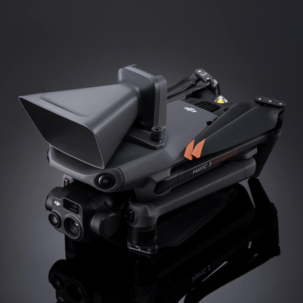
Compact and portable

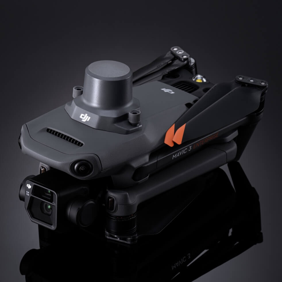
Wide-angle camera with 4/3 CMOS

56× hybrid zoom

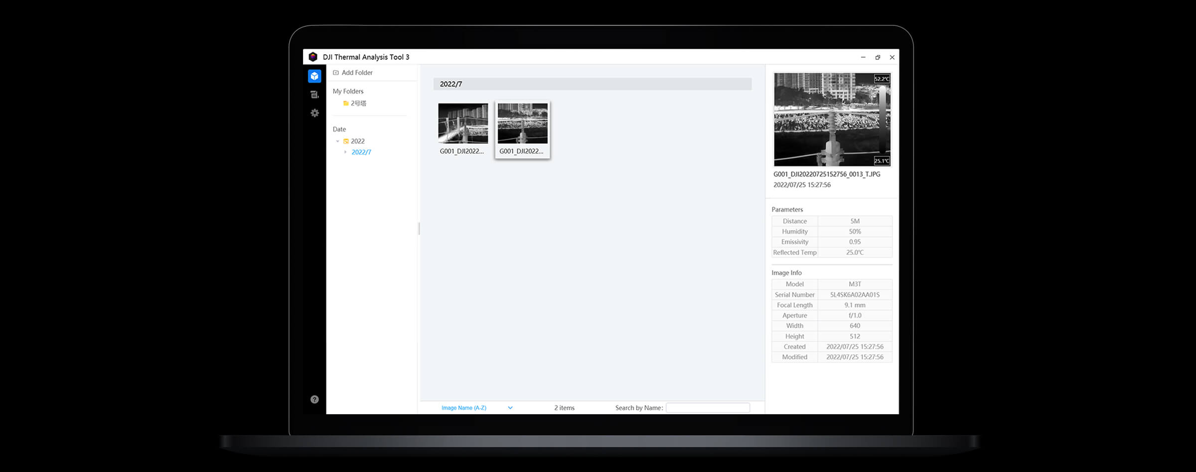
Thermal imaging camera 640 × 512 px

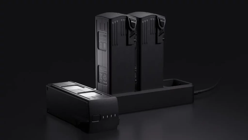
Maximum flight autonomy.

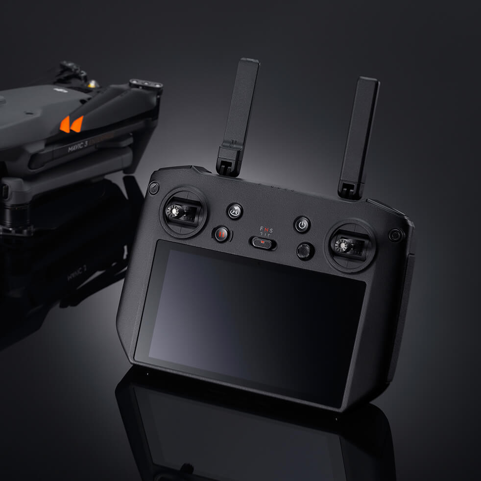
DJI O3 Enterprise Transmission

Centimeter-level positioning with RTK

Loud speaker


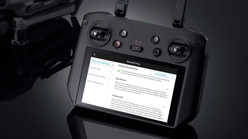

Local Data Mode
Erase all device data with one tap
AES-256 video transmission encryption