Next-generation 360° LiDAR system for professional 3D mapping. XYZ accuracy 3-5 cm, 100-metre range and 320,000 points per second for topographic surveys, infrastructure monitoring and environmental surveying.
| 100 mOperating range | 320K ppsPoints per second | 3-5 cmXYZ accuracy | 360° FOVField of view |
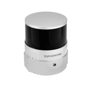
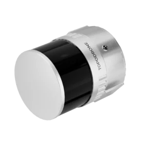
Can be mounted on drone, vehicle and survey backpack for maximum operational versatility in every working environment.
Covers over one square kilometre of territory in a single flight from 100 metres operating altitude.
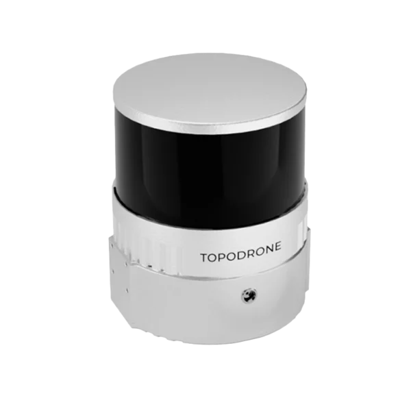
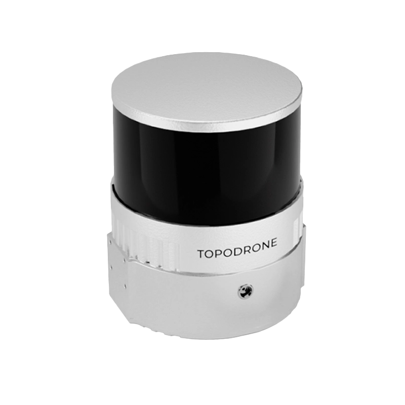
The TOPODRONE LiDAR 100+ delivers professional-grade performance with cutting-edge technology for topographic surveys, infrastructure monitoring and precision 3D mapping.
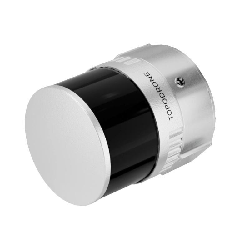
The TOPODRONE LiDAR 100+ represents excellence in professional 3D mapping with advanced laser technology. Based on the Hesai XT32 sensor, this LiDAR system delivers XYZ precision of 3-5 centimetres with an operating range of 100 metres and acquisition capability up to 320,000 points per second. The 360° technology ensures complete environment coverage, whilst the integrated 200 Hz IMU and GNSS receiver deliver high-precision georeferencing. Ideal for topographic surveys, infrastructure monitoring and territorial mapping, the system supports operations on drone, vehicle and survey backpack. DroneBase, a DJI Gold 5 Dealer certified ISO 9001:2015, provides specialist technical support and training to maximise the performance of your LiDAR investment.
What is the difference between the LiDAR 100+ and the 200+ model?
Is it compatible with all DJI drones?
What accuracy can I achieve without control points?
Can I use it on the ground or on vehicles?
What software is included for data processing?
How much territory does it cover in a single flight?
Pre and post-sales support · 24-hour express shipping · Certified technical support · On-site demo
★ DJI Gold 5 DealerISO 9001:2015Technical SupportOn-site demo


There are no reviews yet.