DJI Zenmuse L2 3D Lidar
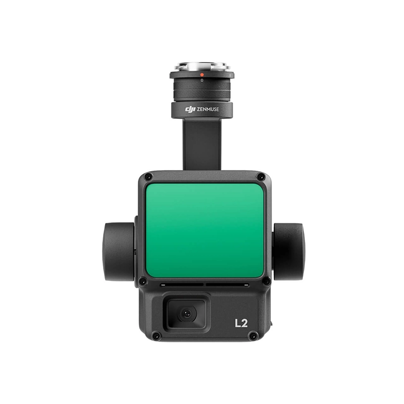
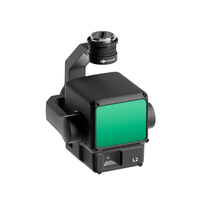
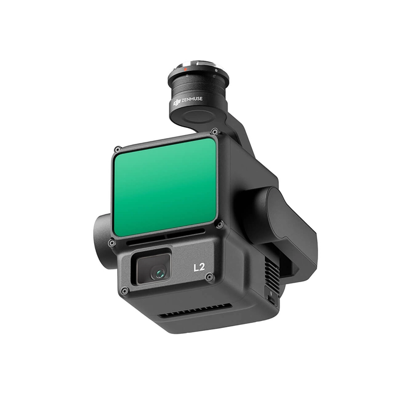
Zenmuse L2 integrates LiDAR frames, an in-house developed high-precision IMU system and a 4/3 RGB CMOS mapping camera, providing DJI flight platforms with more accurate, efficient and reliable geospatial data acquisition. When used with DJI Terra, it offers a turnkey solution for 3D data collection and high-precision post-processing.
From 13.199,00 € VAT incl.
Ready to ship – Shipped in 24-48 h
DJI Zenmuse L2
Integrated LiDAR Solution
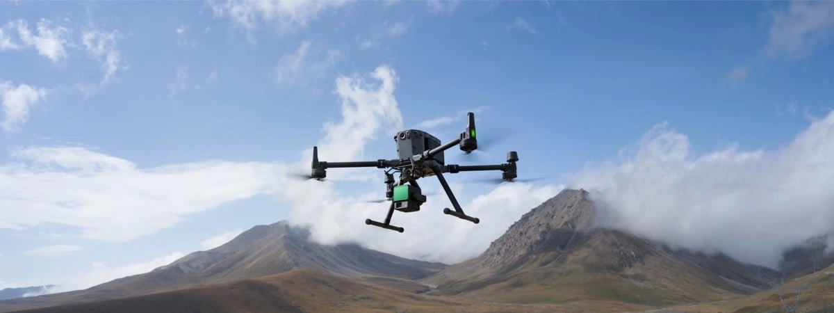
LiDAR is an integrated and accurate solution. The Matrice 350 RTK with L2 enables accurate scanning of complex subjects over an extended range. During operations, users can preview, playback and process point cloud models on the spot. Asset quality reports generated by DJI Terra offer a simple and comprehensive solution to improve overall efficiency.
High Level Accuracy
L2 combines GNSS and ahigh-precision IMU, achieving a vertical accuracy of 4 cm and a horizontal accuracy of 5 cm.
Exceptional Efficiency
L2 is ready to operate immediately and can collect geospatial and RGB data from an area of 2.5 km² in a single flight.
Intuitive Operation
Combined with the Matrice 350 RTK and DJI Terra, L2 offers an easy-to-use turnkey solution by lowering the operational threshold.
LiDAR Based Frame
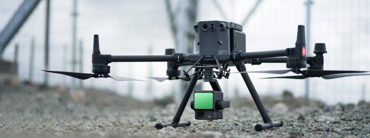
L2 can detect from 250 meters with 10% reflectivity and up to 450 meters with 50% reflectivity. Typical operating altitude extends up to 120 meters, greatly improving safety and operational efficiency.
Smaller Laser Dots, Denser Dot Clouds
With a spot size reduced to 4×12 cm at 100 m, L2 detects smaller objects with more detail and penetrates dense vegetation, generating more accurate digital elevation models (DEMs).
Supports 5 Returns
L2 captures more ground points under foliage in densely vegetated areas.
Effective Speed of the Point Cloud: 240,000 points/s
In both single and multiple return modes, L2 achieves a maximum point cloud emission rate of 240,000 points per second.
Two Scan Modes
L2 supports repetitive and nonrepetitive scanning modes. Repetitive mode provides more uniform and precise point clouds, while nonrepetitive provides deeper penetration.
Frame Based Design
Frame-based design ensures effective point cloud data rate up to 100%. The three-axis gimbal provides greater scenery detection capabilities.
High Accuracy IMU System
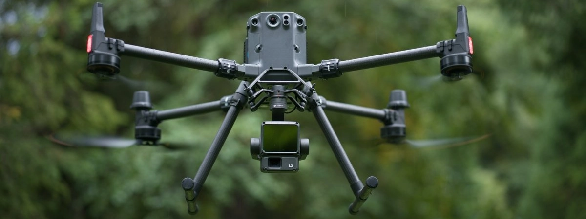
The self-developed high-precision IMU system provides L2 with access to precise information on absolute position, velocity and attitude.
Yaw Accuracy
Real time: 0.2°, post-processing: 0.05°.
Pitch/Roll Accuracy
Real time: 0.05°, post-processing: 0.025°.
No Heating IMU
The IMU system is ready for use immediately after being turned on.
RGB Mapping Camera
The RGB 4/3 CMOS camera has a mechanical shutter and 20 MP effective pixels, improving the overall image and point cloud details to true color.
Improved Operating Experience
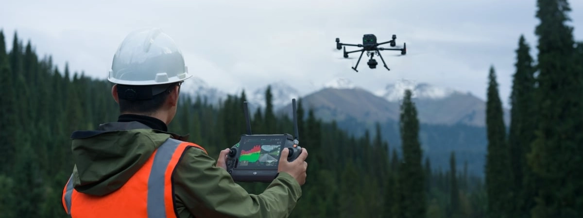
L2 supports waypoint, area, and linear path to handle surveying tasks in various environments.
Cloud of Live Stitches
During operation, DJI Pilot 2 supports three display modes: RGB, point cloud and side-by-side point cloud/RGB display.
Model of the Cloud of Dots
After the operation, the 3D point cloud model can be viewed directly in the album and merge 3D point cloud models from multiple flights.
Automatically Generated Activity
The DJI Pilot 2 app automatically generates an activity quality report, allowing operators to check operational results in real time.
PPK Solution
Supports waypoint, area and linear path to manage survey tasks in various environments.
Processing with a Click on DJI Terra
With DJI Terra, you get efficient and reliable post-processing, generating 3D point cloud models in standard format with just one click.
Application Scenarios

Zenmuse L2 in coordination with DJI Enterprise and DJI Terra is ideal for land surveying and mapping, electricity, forestry and infrastructure management.




There are no reviews yet.