Compact multibeam echo sounder for high-resolution bathymetric surveys and underwater mapping. The ECT 400Si delivers professional-grade depth measurement and seafloor imaging in a portable form factor — ideal for coastal, river, lake, and harbor surveys.
| MultibeamSonar Type | 400 kHzFrequency | High ResResolution | IP67Marine Rating |
Multibeam acoustic system delivers wide-swath seafloor coverage with high spatial resolution. Capture detailed depth maps and bottom morphology in a single pass — far more efficient than single-beam systems.
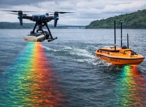
Designed for portable deployment on small survey boats, RIBs, USVs, and drone-mounted bathymetric platforms. Quick setup, lightweight construction, and rugged marine-grade build.
The ECT 400Si is the professional bathymetric survey solution for hydrographers, coastal engineers, and marine survey companies that need high-quality multibeam data without the cost and complexity of vessel-mounted hull arrays.
The Portable Multibeam Echo Sounder ECT 400Si is a high-performance bathymetric survey system designed for hydrographers, coastal engineers, and marine professionals who need multibeam-quality seafloor data in a portable, easy-to-deploy package. Operating at 400 kHz, the ECT 400Si delivers high-resolution depth measurement and detailed bottom imagery across a wide swath — capturing in a single pass what would require multiple lines with a single-beam echosounder. The system is engineered for portable deployment on small survey vessels, RIBs (rigid inflatable boats), unmanned surface vehicles (USVs), and drone-supported bathymetric platforms. Applications include coastal surveys, harbor and port mapping, river and lake bathymetry, navigation channel monitoring, dredging support, environmental assessments, and infrastructure inspections (bridges, dams, pipelines crossing water). The marine-grade construction (IP67-rated) ensures reliable operation in salt and fresh water, with full compatibility with industry-standard hydrographic processing software and GNSS/IMU integration for georeferenced data acquisition. DroneBase supplies the ECT 400Si as part of its complete bathymetry and marine survey solutions catalog with technical support and operator training.
What is the difference between multibeam and single-beam?
What survey platforms is it compatible with?
Does it work in both fresh and salt water?
What software is compatible?
Can it be integrated with GNSS/RTK?
What support does DroneBase provide?
Marine survey expertise · Pre and post-sales support · 24h express shipping · Certified technical support
ISO 9001:2015Marine SurveyTechnical SupportOperator Training


There are no reviews yet.