
Advanced 1000 MHz GPR system for DJI Matrice drones. High-resolution geophysical survey for archaeological prospecting, utility mapping and subsurface analysis with next-generation Real-Time Sampling technology.
| 1000 MHzCentre frequency | 2 mPenetration depth | 138 dBDynamic range | 2 kgUltralight weight |

The Zond Aero 1000 NG represents the most advanced GPR technology for aerial applications, delivering superior performance and operational versatility without compromise.
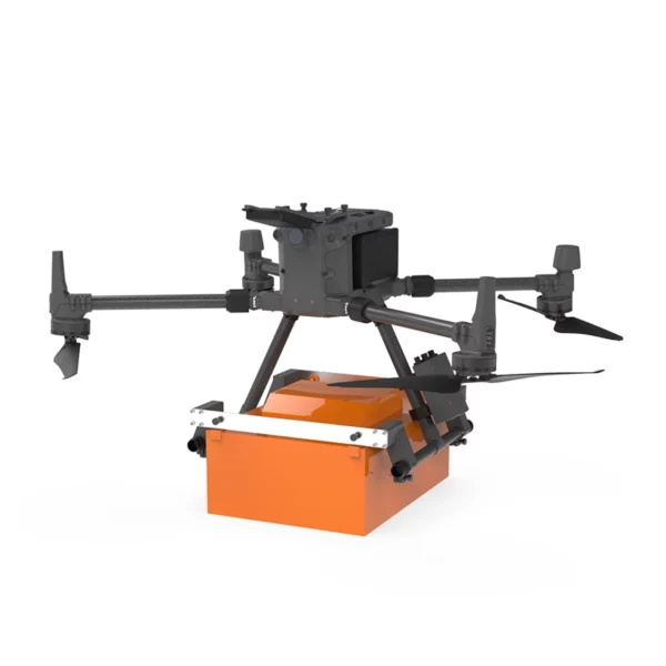
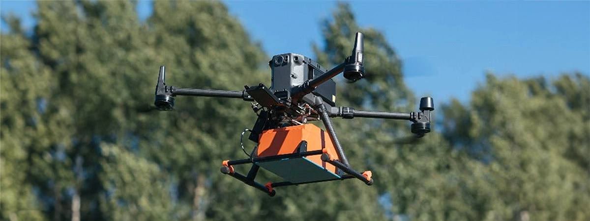
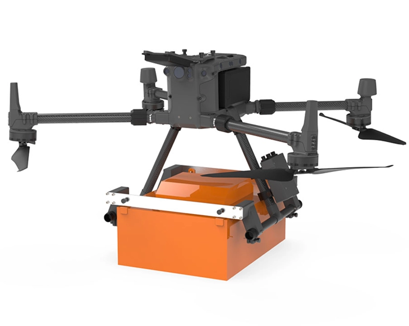
The Zond Aero 1000 NG is an ultralight GPR system designed specifically for aerial applications with DJI drones. This next-generation ground penetrating radar utilises Real-Time Sampling technology to deliver high-resolution data with exceptional signal-to-noise ratio. Compatible with DJI Matrice 300 and 350 RTK, it offers a centre frequency of 1000 MHz ideal for utility surveys, archaeological prospecting and geotechnical analysis. The system includes Prism 2 software for data acquisition, NANUK protective case and complete mounting kit. DroneBase, DJI Gold 5 Dealer certified ISO 9001:2015, provides specialist technical support and assistance for professional GPR solutions with operator training and bespoke integration services.
What is the maximum penetration depth?
Is it compatible only with DJI drones?
Can I use it for ground-based surveys too?
What training is required?
What are the benefits of RTS technology?
Is the system certified for commercial flights?
Pre- and post-sale support · 24h express shipping · Certified technical support · On-site demo
★ DJI Gold 5 DealerISO 9001:2015Technical SupportOn-site demo


There are no reviews yet.