
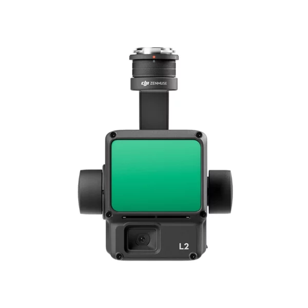
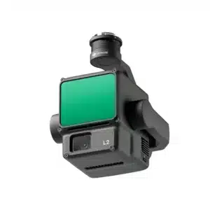
High-precision aerial LiDAR system with 4 cm vertical and 5 cm horizontal accuracy. Integrates frame-based LiDAR, high-accuracy IMU and 4/3 CMOS RGB camera for professional geospatial data acquisition.
| 4 cmVertical Accuracy | 5 cmHorizontal Accuracy | 250 mDetection Range | 1.2M pts/sPoints Per Second |
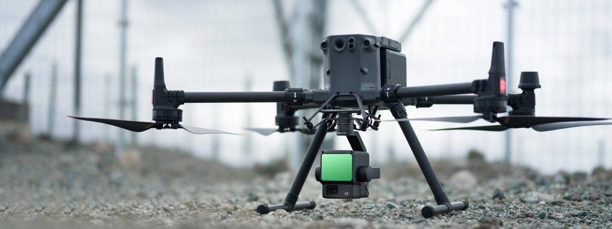
Zenmuse L2 represents the evolution of professional LiDAR technology, offering millimetre precision, operational efficiency and complete integration in the DJI Terra ecosystem.
Buy the DJI Zenmuse L2 at DroneBase, official DJI Gold 5 Dealer certified ISO 9001:2015. The L2 is in stock at our Rimini warehouse with express 24h shipping across Italy and a starting price of €13,199 (VAT included). Choose the configuration that fits your operation: the L2 on its own, or paired with DJI Care Enterprise Basic, Plus or Upgrade to protect a high-value LiDAR payload. The Zenmuse L2 is compatible with the DJI Matrice 350 RTK and Matrice 400 and ships ready for the DJI Terra workflow. Our enterprise team supports payload setup, calibration and accuracy verification on your first surveys, with full technical documentation for surveyors and topographers. Also available on MEPA for public bodies.
Discover how aerial LiDAR mapping works and choose the configuration that fits your operation, from the L2 on its own to DJI Care Enterprise coverage.
How much does the DJI Zenmuse L2 cost?
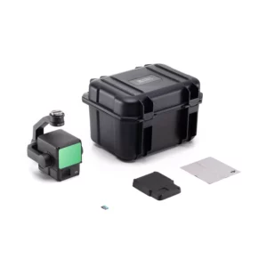
What is included in the box?
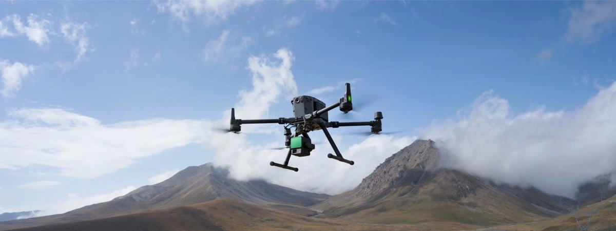
Which drones is the Zenmuse L2 compatible with?
Is DJI Care available for the Zenmuse L2?
Is DJI Terra included, or do I need to buy it separately?
What are the delivery times and support?
Pre and post-sale assistance · Express 24h shipping · Certified technical support · On-site demo
★ DJI Gold 5 DealerISO 9001:2015Technical SupportOn-site Demo


There are no reviews yet.