
Professional DJI software for transforming drone data into precise 2D maps and realistic 3D models, with optimised workflow for photogrammetry, LiDAR and multispectral analysis.
| 12 monthsLicence | 2D/3DReconstruction | LiDAR + RGBSupport | 3D GaussianSplatting |

Generates realistic 3D models at high speed from aerial photographs, with next-generation reconstruction technologies for accurate detail.
Joint processing of LiDAR and RGB image data in a single workflow for high-precision point clouds and 3D mesh models.
DJI Terra Standard transforms your aerial workflow into a complete professional solution, from data acquisition to final project delivery.
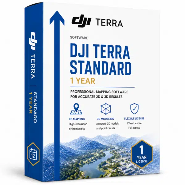
**DJI Terra Standard** is a 3D modelling software equipped with next-generation reconstruction technologies, including 3D Gaussian Splatting, which supports accurate and efficient 2D and 3D reconstruction from visible light imagery and processes data collected by DJI LiDAR. When integrated with DJI and DJI Modify drones, Terra provides a unified hardware and software solution for acquisition, processing and data application, optimising aerial survey workflows for greater efficiency and accuracy. The **annual licence** includes complete support for **advanced photogrammetry**, **LiDAR processing**, and **multispectral analysis** for precision agriculture. At **DroneBase**, a **DJI Gold 5 Dealer** certified **ISO 9001:2015**, we provide specialised technical support and training to maximise the potential of DJI Terra in your professional mapping, inspection and digital twin projects.
Which drones are compatible with DJI Terra Standard?
Can I process LiDAR data with the Standard version?
How many photos can I process with DJI Terra Standard?
Is multispectral analysis support included?
Can I transfer the licence to another computer?
What support does DroneBase offer for DJI Terra?
Pre and post-sales assistance · 24h express shipping · Certified technical support · On-site demo
★ DJI Gold 5 DealerISO 9001:2015Technical SupportOn-site demo


There are no reviews yet.