
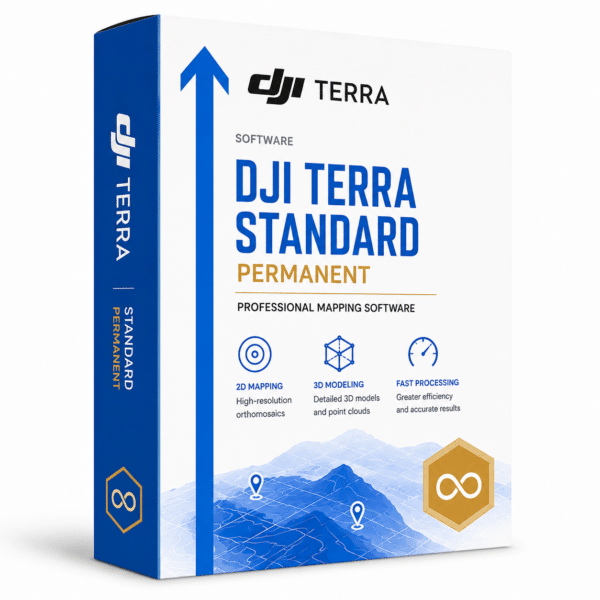
Professional mapping and 3D modelling software. Permanent licence for advanced photogrammetry, LiDAR reconstruction and multispectral analysis with 3D Gaussian Splatting technology.
| PermanentLicence | 3D GaussianSplatting | MultispectralAnalysis | LiDAR readyCompatible |
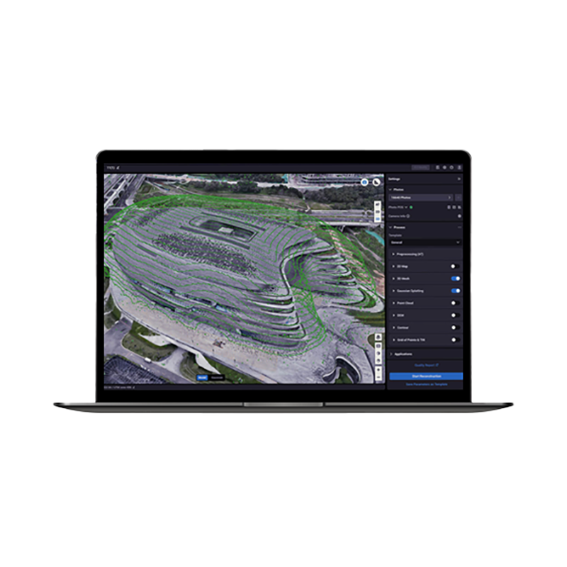
Ultra-realistic 3D reconstruction from photos using the next-generation 3D Gaussian Splatting technology for detailed and accurate models.
Advanced LiDAR data processing with integration of point clouds and RGB imagery in a single professional workflow.
DJI Terra Standard Permanent represents the definitive solution for professionals requiring advanced mapping and 3D modelling with permanent licence and unlimited access.
DJI Terra Standard Permanent is the official DJI software for aerial mapping and professional 3D modelling. The permanent licence guarantees unlimited access to advanced photogrammetry features, LiDAR reconstruction and multispectral analysis. It integrates the revolutionary 3D Gaussian Splatting technology for ultra-realistic models. Compatible with the entire DJI Enterprise range and includes DJI Modify for intelligent model editing. DroneBase, a DJI Gold 5 Dealer certified ISO 9001:2015, provides specialised technical support and complete assistance for implementing professional mapping solutions across surveying, construction, agriculture and digital twin creation sectors.
What is the difference between Standard and Flagship?
Is DJI Modify included in the Standard licence?
Which drones is Terra Standard compatible with?
How many photos can I process simultaneously?
Does the permanent licence have time limitations?
Can I use Terra offline?
Pre and post-sale assistance · Express 24h shipping · Certified technical support · On-site demo
★ DJI Gold 5 DealerISO 9001:2015Technical SupportOn-site demo


There are no reviews yet.