
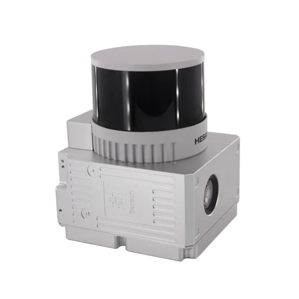
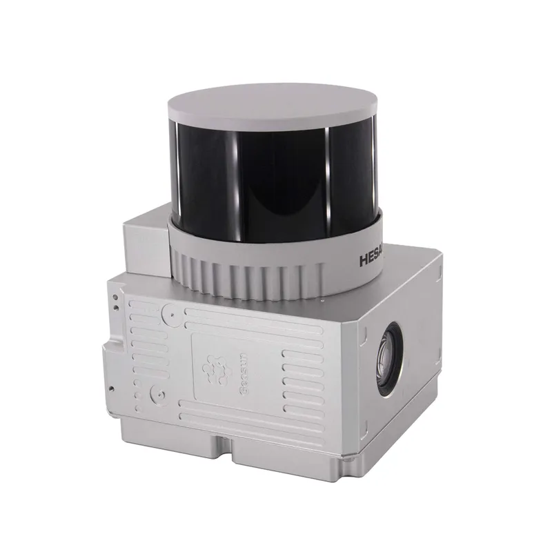
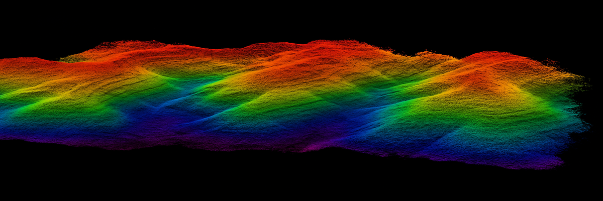
Ultra-compact 1.1 kg LiDAR system with HESAI XTM2X sensor, integrated gSpin 310 POS at 200 Hz and synchronised 26 MP camera. Centimetre-level precision up to 300 m range with 1.92 million points/second.
| 1.92M pts/sPoint density | 300mMax range | 1.1kgTotal weight | 26MPRGB camera |

The GS-260X represents the perfect balance between professional performance and portability, ideal for high-precision 3D survey operations.
The Laser Scanner GS-260X is the most advanced medium-range LiDAR solution for professional 3D mapping and high-precision topographic surveys. This ultra-compact 1.1 kg system integrates a HESAI XTM2X sensor, a gSpin 310 POS system at 200 Hz and a 26-megapixel RGB camera for simultaneous acquisition of point clouds and georeferenced photographic textures. With a 300-metre range and density up to 1.92 million points per second, the GS-260X is ideal for infrastructure inspections, terrain mapping, precision agriculture and smart city projects. DroneBase, a DJI Gold 5 Dealer certified ISO 9001:2015, provides specialised technical support and training for optimal system integration in professional survey and mapping operations.
What is the difference between the GS-260X and other LiDAR scanners?
Which platforms can the GS-260X be mounted on?
Is gAirHawk 5.0 software included in the price?
What is the actual precision of the system in operational conditions?
Is specific training required to operate the system?
What area can be mapped in a single flight?
Pre and post-sale support · Express 24-hour delivery · Certified technical support · On-site demo
★ DJI Gold 5 DealerISO 9001:2015Technical SupportOn-site Demo


There are no reviews yet.