


Lightweight and affordable image and video processing software for creating 2D maps and elevation models from drones. Works completely offline in the field to validate survey data quality before leaving the survey area.
| 2D + 3DMaps | NDVI supportMultispectral | 100% offlineIn the field | 590 €Perpetual |


UgCS Mapper is a lightweight and affordable image and video processing software for drones that revolutionises fieldwork workflows.
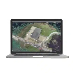
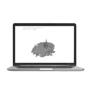
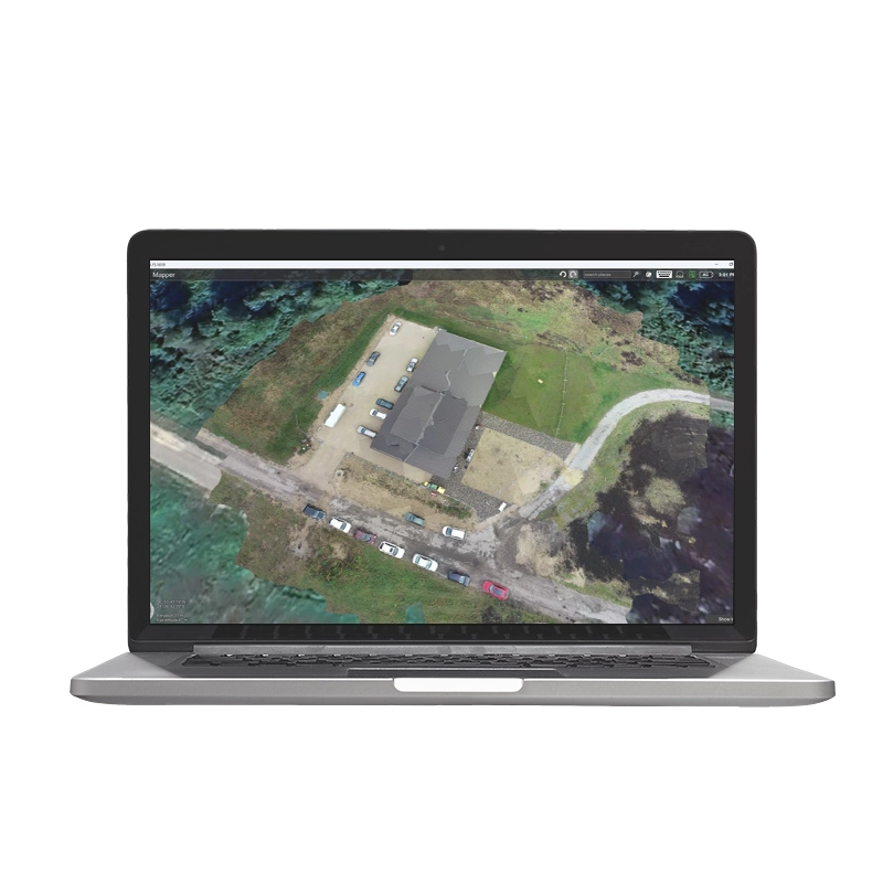
UgCS Mapper is a lightweight and affordable image and video processing software for drones developed by SPH Engineering to create 2D maps and elevation models, ideal for professional drone photogrammetry operations. The software enables you to work completely offline in the field, allowing you to quickly create orthomosaics and validate survey data quality before leaving the survey area. It supports 3-channel RGN JPEG multispectral images for NDVI index generation, making it perfect for precision agriculture and environmental monitoring. DroneBase, a DJI Gold 5 Dealer certified ISO 9001:2015, provides complete technical support and training to maximise the use of this powerful drone mapping tool.
Does UgCS Mapper work without internet connection?
What is the difference between perpetual licence and monthly subscription?
Can I process multispectral images?
Is it compatible with other flight planning software?
What does technical support include?
Pre and post-sales assistance · Express 24h delivery · Certified technical support · On-site demo
★ DJI Gold 5 DealerISO 9001:2015Technical SupportOn-site demo


There are no reviews yet.