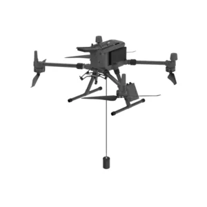
Bathymetry Drones: Advanced Technology for Precision Underwater Surveys
Bathymetry drones are an innovative solution for mapping and analyzing the seabed, lake, and river bed. Equipped with advanced echosounders and sensors, these drones enable high-precision bathymetric surveys, even in areas that are difficult to access or dangerous to humans.
Why choose drones for bathymetry?
- Access to remote areas: They easily reach areas inaccessible by traditional means, such as lakes, rivers and rugged coastlines.
- Operational safety: They eliminate the risks associated with manual diving operations, protecting personnel from potential hazards.
- Efficiency and speed: They cover large areas in less time, optimizing surveying operations.
- High-quality data: Provide detailed information on seafloor morphology, essential for environmental and engineering studies.
Applications of drones for bathymetry
- Environmental monitoring: Aquatic ecosystem analysis and environmental impact assessment.
- Civil engineering: Design and maintenance of infrastructure such as bridges, dams and ports.
- Navigation: Updating nautical charts and identifying submerged obstacles.
- Scientific research: Underwater geological and archaeological studies.
Discover our bathymetry drones Explore our range of bathymetry drones, designed to deliver high performance and reliability in all conditions. Equipped with state-of-the-art technologies, our drones ensure accurate and detailed surveys, supporting professionals and researchers in their activities.
Contact us for a personalized consultation or to request a field demonstration. Rely on our experience for solutions tailored to your bathymetric survey needs.