Georadar
Showing all 3 results
Discover our range of DJI drone-compatible georadars designed to perform geophysical and archaeological surveys with precision and efficiency. These advanced tools enable the detection of underground structures, cavities, and other hidden features, optimizing subsurface survey operations.
Main features:
- DJI drone compatibility: Designed to integrate seamlessly with models such as DJI Matrice 300 and 350, facilitating implementation in aerial operations.
- Ultralight design: Minimizes the impact on the drone, allowing longer flights and agile maneuvers during survey operations.
- Advanced performance: Provide high-resolution data for detailed subsurface analysis, improving survey accuracy.
Main applications:
- Geophysical Surveys: Mapping of underground structures for environmental and engineering studies.
- Archaeological surveys: Identification of buried sites and artifacts without invasive excavation.
- Environmental monitoring: Subsurface analysis for geological hazard prevention and land management.
Explore our selection of DJI drone georadars and enhance your survey operations with state-of-the-art technology solutions, ensuring efficiency and accuracy in every mission.
-
Georadar, Georadar & Magnetometer Combo, UgCS - SPH
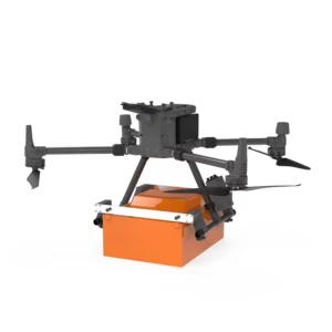
Georadar Drone – Zond Aero 1000 NG GPR
0 out of 5(0)The Zond Aero 1000 is an ultralight, single-unit ground penetrating radar (GPR) system specially designed for portable solutions. Compatible with DJI Matrice 300 and 350 drones, this georadar offers advanced performance for geophysical and archaeological survey applications.
SKU: n/aFrom 24.399,00 € VAT incl. This product has multiple variants. The options may be chosen on the product page -
Georadar, Georadar & Magnetometer Combo, UgCS - SPH
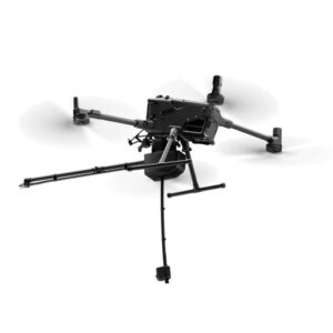
Georadar Drone – Zond Aero 500 NG
0 out of 5(0)The Zond Aero 500 is an ultralight, single-unit ground penetrating radar (GPR) system specially designed for portable solutions. Compatible with DJI Matrice 300 and 350 drones, this georadar offers advanced performance for geophysical and archaeological survey applications.
SKU: n/aFrom 21.959,00 € VAT incl. This product has multiple variants. The options may be chosen on the product page -
Echosounder, Georadar, Magnetometer, Onboard Computer
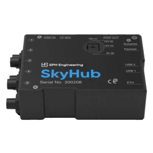
Skyhub
0 out of 5(0)UgCS SkyHub is an on-board computer for DJI drones, ideal for integrating advanced sensors and automating missions in professional surveys. Compatible with magnetometers, georadars and UgCS software, it optimizes data collection in complex operations.
SKU: SKYHUB3
Showing all 3 results

