


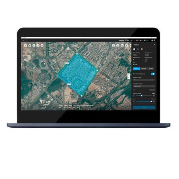
DJI Terra Pro Overseas Perpetual
Photograph, analyze and visualize the environment around you with DJI Terra Pro, practical mapping software developed to assist professionals in turning real images into digital assets.
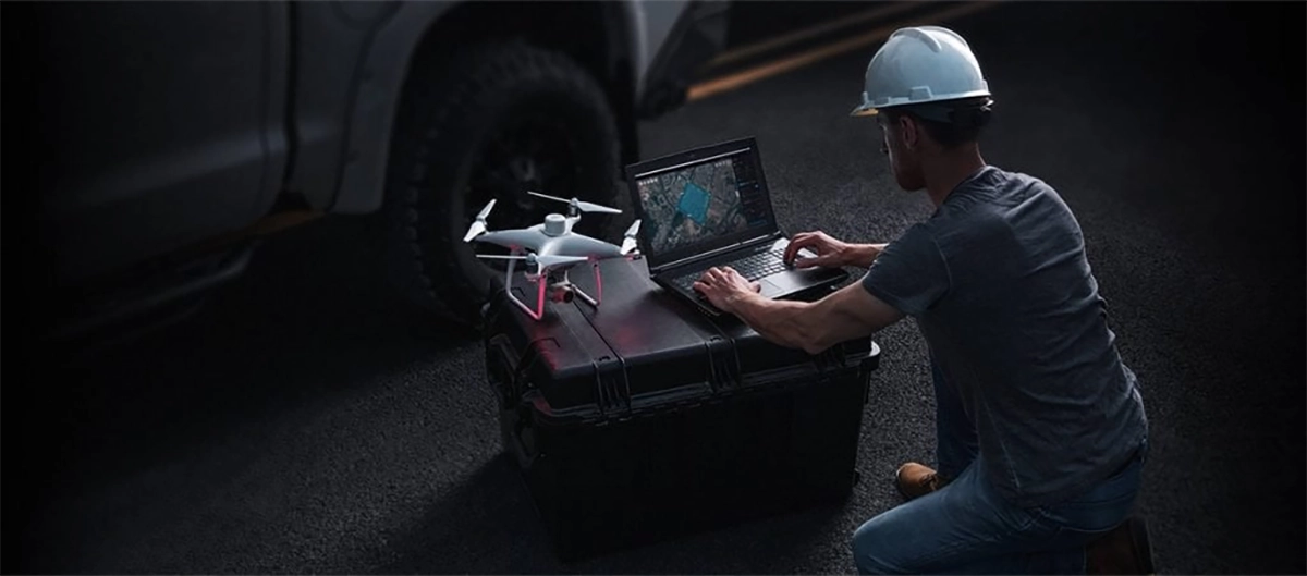
Plan. Processes. Analyze. Execute.
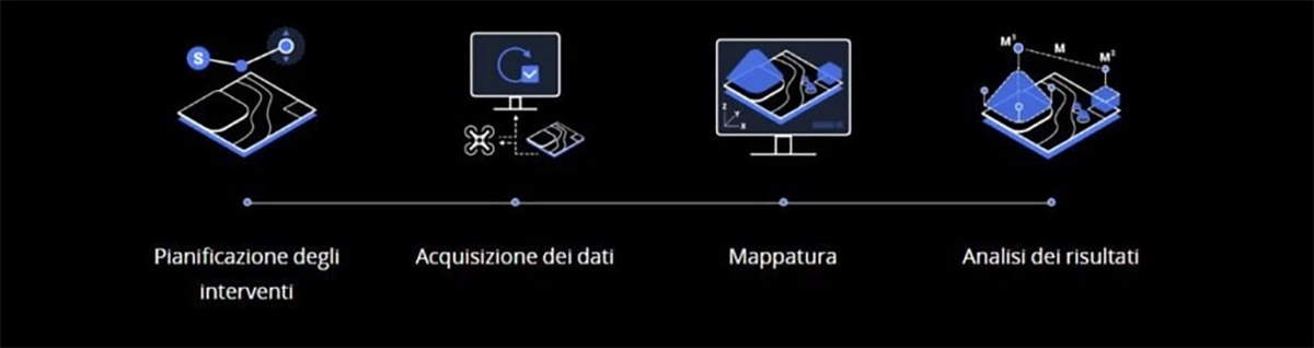
Digitize your world
Public Safety
Speed and efficiency for on-site acquisition of critical information.
Construction
Accurate collection, measurement, and analysis of data on each project.
Infrastructure
Perform detailed inspections of structures and in complex scenarios with ease.
Agriculture
Accurate evaluation of cultivated land to maximize yield.
Cinematography
Optimized pre-visualization to improve the organization of filming.
Mission planning
Waypoints
Planning with route points
Create effective flight paths using predefined path points and the ability to adjust parameters such as altitude, speed, camera angle, aircraft orientation and more. For more elaborate and complex missions that require extreme precision, the 3D flight visualization feature allows you to design and simulate missions on the three-dimensional models you create.
Area
Planning an area
With just a few touches on the screen, you can automate complex missions to continue capturing images and creating maps and models that will help you assess situations and make more thoughtful decisions.
Oblique
Oblique planning
For the most sensitive missions, when accuracy of information is critical, you can tilt the camera with the Oblique mode to get more detailed images and build an extremely faithful 3D model.
Mappings
Real-time mappings
Real-time mapping quickly creates orthomosaics without interrupting flight. Perfect for remote routes and quick interventions where time is crucial.
2D Reconstructions
High-resolution orthomosaics with detailed and accurate measurements for the most delicate projects.
3D Reconstructions
Clear and realistic reproductions of the surrounding environment for a variety of industrial applications, such as accident reconstruction, site supervision for large-scale projects, and more.
Data analysis
2D and 3D measurements
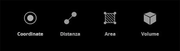
Acquire dimensional information on different types of soils using practical analysis tools to process data based on linear, surface, and volumetric measurement values.
Annotations
Set and edit measure labels on existing templates to compile reports and facilitate communication between teams during project execution.
Photographic inspection
It inspects every detail reported in the model, selecting and highlighting critical elements present on the actual scene. Both 3D models and photographic data allow objects to be inspected and their details compared.
Uninterrupted connection with your fleet of DJI drones
DJI Terra is compatible with the following models in the Phantom 4 series:
Phantom 4 RTK,
Phantom 4 Pro V2.0
Phantom 4 Pro+ V2.0
Phantom 4 Pro
Phantom 4 Advanced and Phantom 4
A new generation of mapping solutions begins
Harness the power of AI mapping solutions to take your industrial projects to new levels. Whether for object classification, site inspection, or other types of operations, jumpstart the development of mapping solutions and accomplish missions without difficulty.
- Data acquisition: Define your goal, set the desired flight plan, and, in a few touches, collect the data you need to achieve the desired result.
-
Data processing: Uses sophisticated image recognition technology to generate 2D and 3D data, resulting in a more realistic representation of structures, objects, scenery, and more.
-
Data use: Applies computer learning tools and techniques for use in various industries, such as classification algorithms to identify trees, objects and other environments.
-
Execution: Take the necessary measures and benefit from more efficient processes with computer control, be it automatic spraying operations, job monitoring, material transport, or much more.
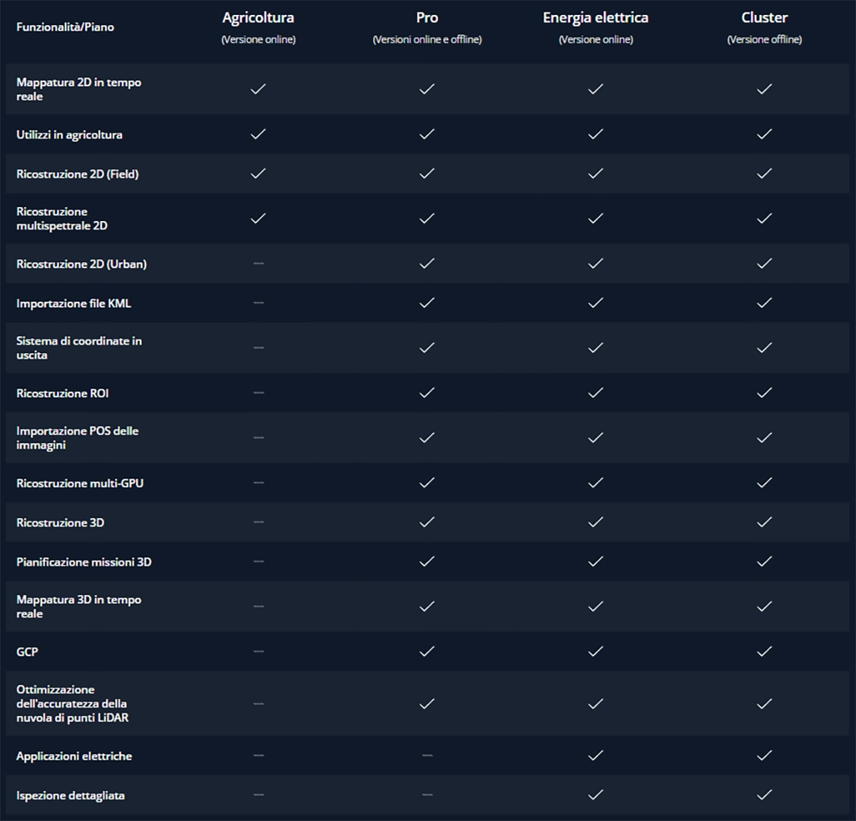
DJI Terra License Plans
 [elementor-template id=”23065″]









There are no reviews yet.