
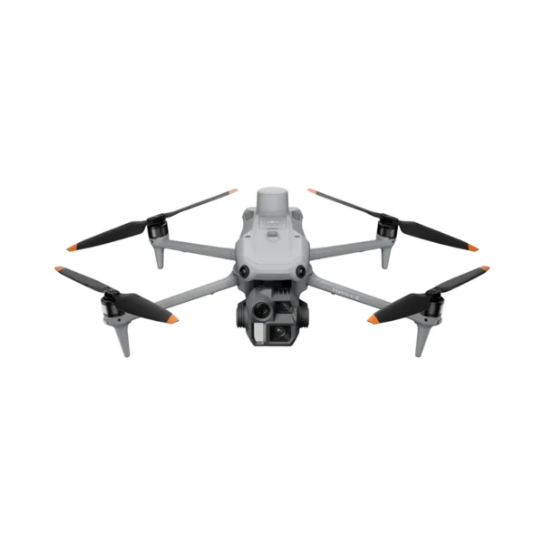
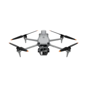
Enterprise drone for geospatial applications with a 24mm wide-angle lens, mechanical shutter and Smart 3D Capture. Designed for geospatial applications such as topographic surveying, mapping, construction and mining.
| 49 minFlight time | 20 MP4/3″ Sensor | 0.5 secShot interval | 25 kmTransmission range |
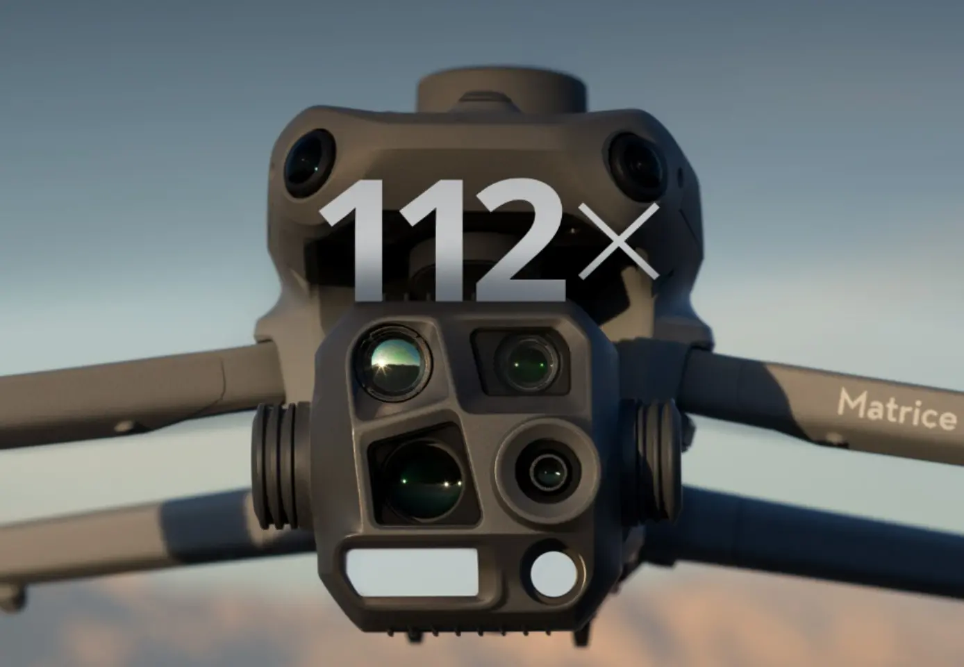
The DJI Matrice 4E redefines professional mapping standards with cutting-edge technology.
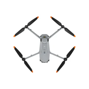
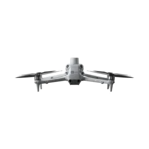
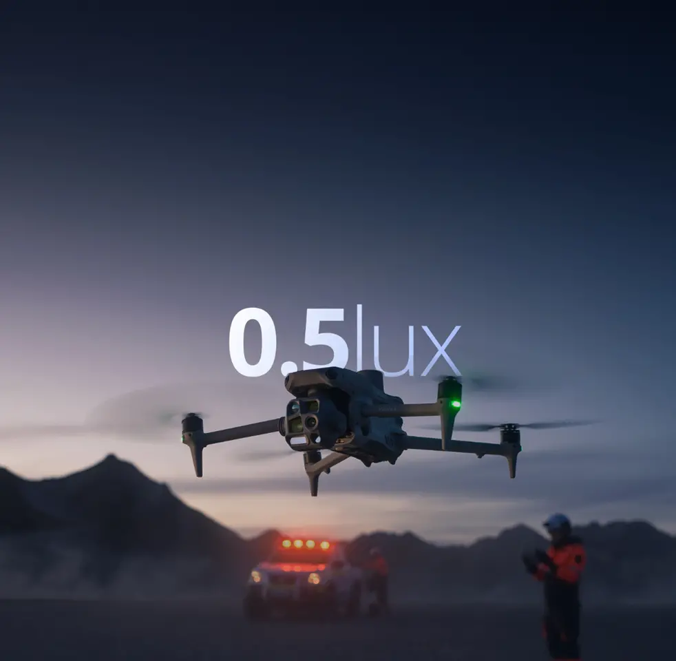
The DJI Matrice 4E represents the definitive evolution of enterprise drones for professional mapping and photogrammetry. Equipped with a 4/3″ 20MP sensor with mechanical shutter, it guarantees rapid shots at 0.5-second intervals for orthophoto and oblique photography operations at speeds up to 21 m/s. The Smart 3D Capture technology enables precise three-dimensional model creation directly from the controller, whilst the 5-direction oblique capture system increases mapping efficiency by 40%. With 49 minutes of flight time and 1800m laser rangefinder, the Matrice 4E is the ideal choice for surveying professionals, construction and mining industries. Buy from DroneBase, DJI Gold 5 Dealer certified ISO 9001:2015 with specialised technical support and complete pre and post-sale assistance.
What’s the difference between Matrice 4E and 4T?
Is DJI Terra licence included?
What’s the mapping accuracy without GCP?
Can it fly in adverse weather?
What mapping speed does it achieve?
Is it compatible with third-party software?
Pre and post-sale support · 24h express shipping · Certified technical support · On-site demo
★ DJI Gold 5 DealerISO 9001:2015Technical supportOn-site demo


There are no reviews yet.