DJI Mavic 3 Multispectral
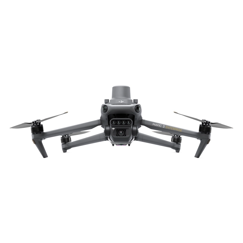
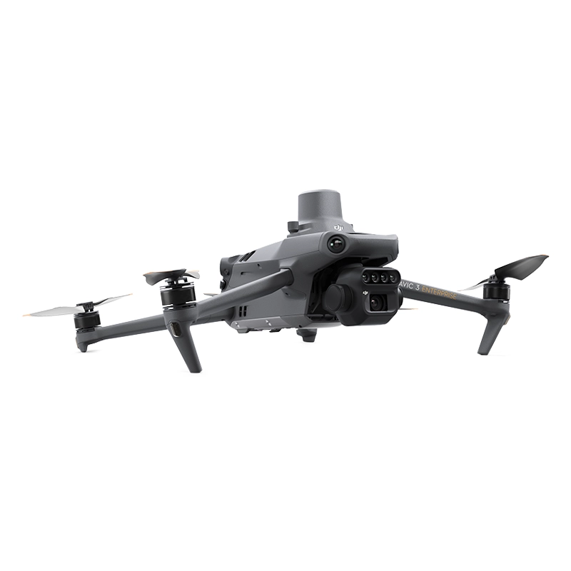
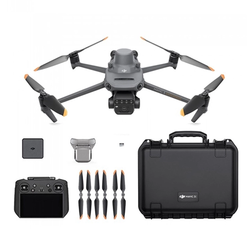
The DJI Mavic 3 Multispectral Drone is the compact and portable solution for precision agriculture, combining a 20MP RGB, 4/3 CMOS camera and mechanical shutter with a 4-sensor 5MP Multispectral camera for crop analysis: flight time 43 minutes.
From 4.551,00 € VAT incl.
Ready to ship – Shipped in 24-48 h
DJI Mavic 3 Multispectral – Care 1 Year
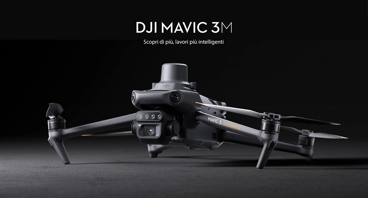
Learn more, smarter jobs
To perform efficient aerial surveys, it is critical to see the invisible. The Mavic 3 Multispectral offers two viewing modes, combining an RGB camera with a multispectral camera to analyze crop growth with the utmost clarity. Agricultural production management requires precision and data, and the Mavic 3M offers both.
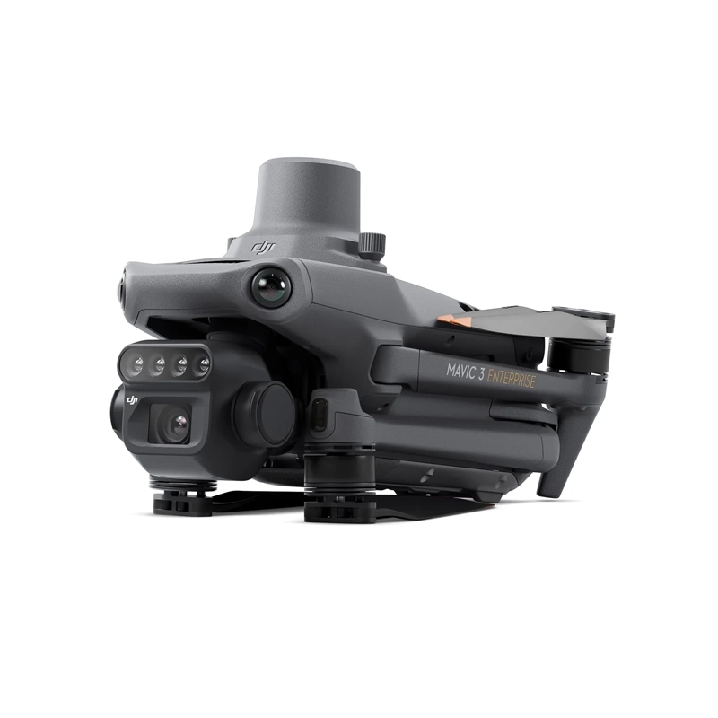
Compact and portable
- Foldable for easy storage
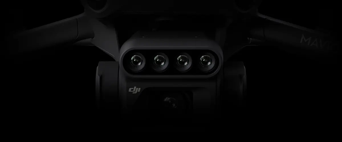
Multispectral camera
- 4 × 5 MP: G/R/RE/NIR
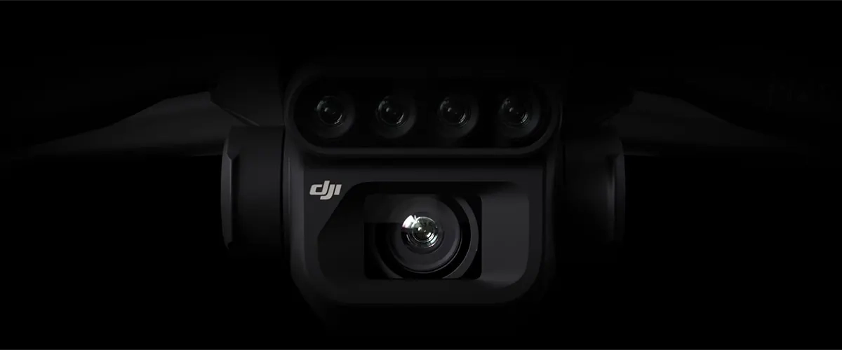
RGB camera
- 20 MP: 4/3 CMOS, mechanical shutter
Stable and safe
- Omnidirectional obstacle avoidance
- Transmission distance of 15 km
Precise positioning
- Millimeter RTK positioning
- Time synchronization in microseconds
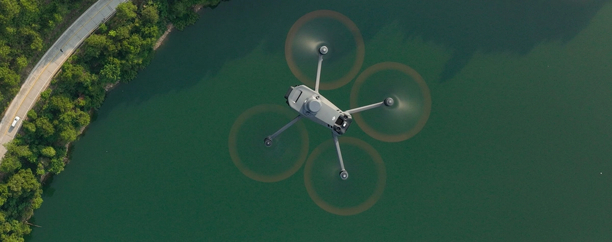
Efficient aerial surveys
- Up to 2 km² per flight
RGB multispectral imaging system
The highly integrated imaging system of the 3M Mavic includes a 20 MP RGB camera and four 5 MP multispectral cameras (green, red, Red Edge, near-infrared). This system enables applications such as high-precision aerial surveying, crop growth monitoring, and natural resource surveys.
RGB camera features
- 4/3 CMOS: 20 MP image sensor
- 1/2,000 s: The highest shutter speed
- 0.7 s: High-speed shooting with RGB camera
Sunlight sensor
The integrated sunlight sensor captures solar irradiance and records it in an image file, enabling light compensation during 2D reconstruction. This leads to more accurate NDVI results and greater accuracy and consistency of the acquired data over time.
RTK module
The 3M Mavic offers millimeter positioning thanks to the RTK module. The flight control, camera, and RTK module synchronize in microseconds to accurately acquire the center position of each camera’s images, enabling high-precision aerial surveys without ground control points.
Efficient and reliable battery
- 43 minutes of cruise time
- Up to 2 km² of mapping in a single flight
- Fast charging 100 W for batteries and 88 W for aircraft

Omnidirectional obstacle detection
The aircraft is equipped with wide FOV sensors that detect obstacles in all directions, allowing aerial terrain follow surveys even in steep terrain.
Application uses
- Orchard Mapping: Reconstructs high-resolution maps, identifies the number of trees, and generates three-dimensional operational paths for agricultural drones, improving safety and efficiency.
- Variable Rate Application Guide: Use multispectral imagery to generate NDVI maps and prescription maps, reducing costs, increasing yield, and protecting the environment.
- Intelligent terrain exploration: Supports automatic field exploration and intelligent crop analysis through the DJI SmartFarm platform.
- Environmental monitoring and natural resource surveys The Mavic 3M can be used to monitor water enrichment, forest distribution, and urban green areas.
Open ecosystem
- Cloud API: Direct connection to third-party cloud platforms via DJI Cloud.
- MSDK: Supports Mobile SDK 5 to develop custom control apps for specific scenarios.



There are no reviews yet.