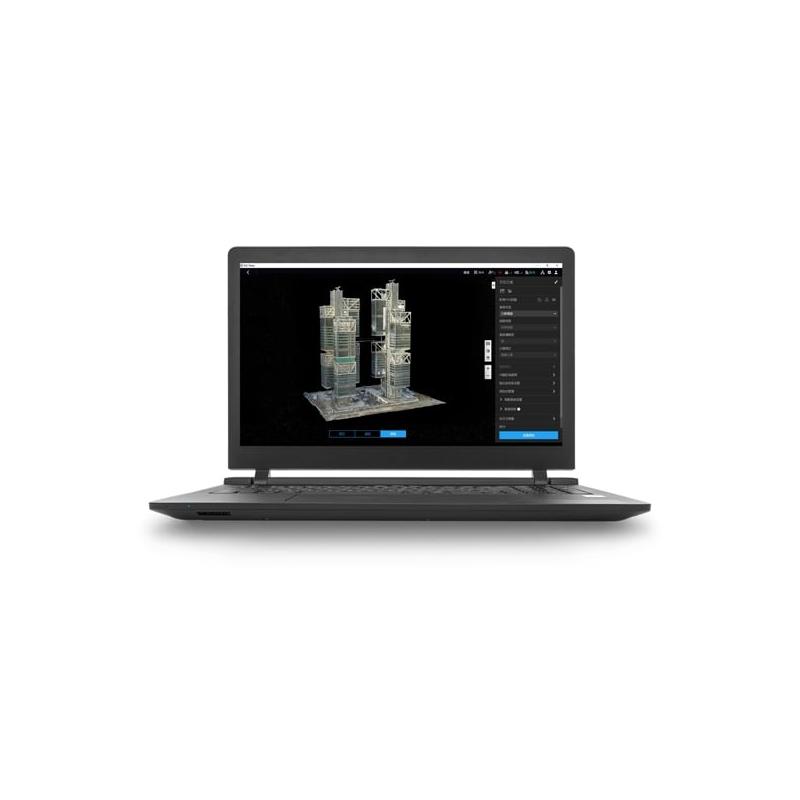
DJI Terra is 3D reconstruction software[1] based on photogrammetry technology, which supports a wide range of accurate and efficient 2D and 3D visible light reconstructions and data processing using DJI LiDAR. DJI Terra is the perfect choice for DJI Enterprise drones and loads, with which it integrates to create a complete solution to meet the needs of vertical industries such as land surveying and mapping, power transmission, emergency services, construction, transportation, and agriculture.
2D and 3D visible light reconstruction[2]: aerial photos in raw format can be imported to obtain a 2D orthophoto map with high accuracy and a 3D model of a real scene.
LiDAR data processing: when working with DJI Zenmuse’s LiDAR, DJI Terra can generate results with high accuracy, such as true-color point clouds and one-click point cloud classification.
Multispectral reconstruction[3]: DJI Terra supports radiometric correction and production of reflectance maps for scientific remote sensing research. It can also generate vegetation indices such as NDVI and NDRE.
Real-time reconstruction[4]: DJI Terra can generate 2D orthophoto maps or 3D models in real time during flights and produce results.
Detailed inspection[5]: DJI Terra can automatically generate executable inspection flight paths after adding target points based on a model or point clouds. In this way, the inspection process is automated.
Model Application:DJI Terra makes it easy to measure coordinates, distances, areas, volumes and other key object data, as well as to rename and export data results.
Authorized modes: online and offline permissions are supported.
[1] A Windows 10 or later (64-bit) system is required to run the software. [2] Minimum computer configuration requirements: 32 GB of memory, an NVIDIA graphics card with a computing capacity of 6.1 or higher (4 GB graphics memory) [3] Multispectral reconstruction supports DJI Mavic 3M and P4 Multispectral. [4] Only the Phantom 4 series is supported, and the configuration requirements listed in [2] also apply to real-time 3D reconstruction. [5] Exported flight paths can only be used with Matrice 300 RTK or Phantom 4 RTK (radio control (RC) without screen).
Based on 0 reviews
0.0 overall
0
0
0
0
0
Be the first to review “DJI Terra Pro Overseas 1 Year (1 device offline version)” Cancel reply


There are no reviews yet.