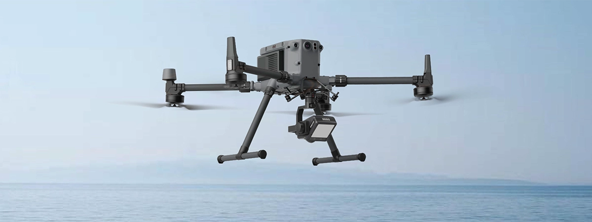
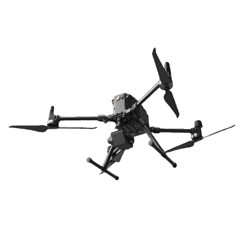
Water Flow Measurement System DJI Matrice 350
Advanced system for DJI M350 that measures water flow, level, and rate of flow with Doppler radar technology and real-time data.
21.999,00 € TAX Included
Limited stock – Shipped in 24-48 h

Water Flow Measurement System DJI Matrice 350
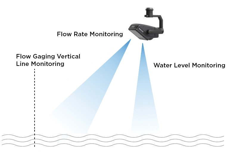
The water flow measurement sensor for the DJI M350 integrates Doppler Radar and Millimeter Wave Radar
to measure flow velocity, water level and river flow rate.
Adopts advanced technology for heat dissipation, water resistance and dust resistance,
ensuring reliable performance in harsh weather conditions.
The system calculates fluid velocity using the Doppler effect, analyzing frequency and phase variations in reflected radar signals.
Provides intelligent monitoring, real-time data transmission and continuous analysis of hydrological characteristics.
Main Benefits:
- Speed and water level radar integration: Compact and accurate, filters out interference for high-precision water detections.
- Advanced Technology: Heat dissipation, IP44 waterproof and dustproof, ideal for rain.
- Simultaneous measurement: Water velocity, level, and flow rate, with automatic reports for seasonal flows.
- DJI MMatrice 350 RTK Compatibility: Quick installation with DJI SKYPORT V2.0.
Main Features:
- Doppler radar principle: Calculates the speed of water by the frequency change of the reflected signal.
- Simplified operation: UAV control and software managed by one operator.
- Main functions:
– Flow velocity and water level measurement.
– Real-time flow rate calculation.
– Flood warnings and hydrological inspections.
Technical Characteristics:
Flow Velocity System
| Feature | Details |
|---|---|
| Electrical interface | DJI SKYPORT V2.0 |
| Weight | 695g |
| Dimensions | 128.6mm x 187mm x 168.3mm |
| Rated voltage | 12V |
| Photographic performance | 1300w |
| Lighting parameter | Far infrared LED |
| Anti-shake property | Optical anti-vibration |
| Functioning pattern | Pan & Tilt light pitch/roll adjustment |
| Flow rate range | 0.15-30m/s |
Water Level System
| Feature | Details |
|---|---|
| Radar frequency | 24GHz |
| Level of protection | IP44 |
| Working frequency | 62GHz |
| Measuring range | 0.1 m-30m |
| Measurement accuracy | ± 3mm |
| Operating temperature | -40°/+70° |
Software Features
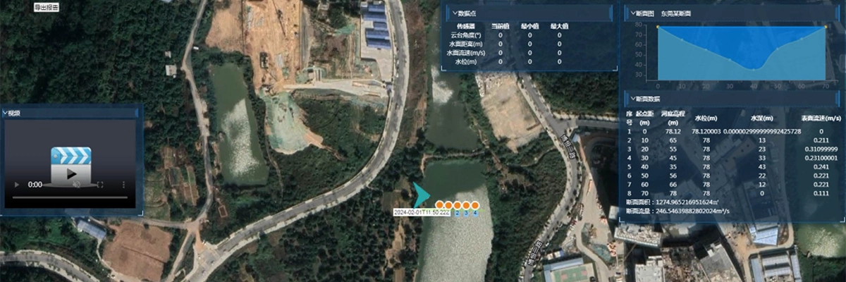
- Importing section data, route planning and map selection.
- Real-time monitoring and export of detailed reports.
- Display of video, measurement data and sectional flow profiles.
- Compatibility with offline 2D maps and basic video.
- Support for data recording and historical review.
- DJI UAV multi-model access with real-time image display.

Operating Procedure
1.Installing and starting the UAV.
2.Connecting WM350 and checking the system status.
3.Configuring parameters and starting the measurement through the dedicated app.
4.Saving and exporting data.


There are no reviews yet.