
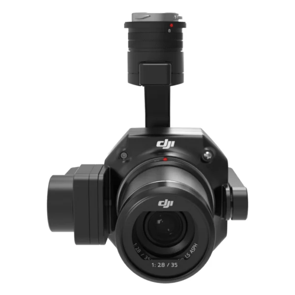
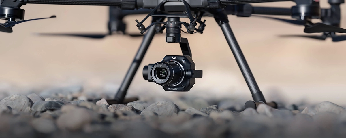
Professional photogrammetric gimbal with 45MP full-frame sensor and global mechanical shutter.
Centimetre-level accuracy without GCP for high-efficiency aerial mapping across large areas.
| 45 MPFull-Frame Sensor | 3 cmHorizontal Accuracy | 3 km²Coverage per Flight | 1/2000 sMechanical Shutter |
The DJI Zenmuse P1 represents excellence in aerial photogrammetry, combining centimetre-level accuracy, operational efficiency and professional versatility in a single integrated solution.
The DJI Zenmuse P1 represents the next generation of aerial photogrammetry systems for professional drones. Equipped with a 45MP full-frame sensor, this photogrammetric gimbal delivers centimetre-level precision without requiring Ground Control Points, covering up to 3 km² per flight. The TimeSync 2.0 system ensures microsecond synchronisation across all modules, whilst the global mechanical shutter eliminates rolling shutter for perfect images even at high speed. DroneBase, a DJI Gold 5 Dealer certified ISO 9001:2015, provides specialist technical support and dedicated training to maximise the performance of your professional mapping technology investment. The Smart Oblique Capture function automates multi-angle oblique image acquisition, ideal for urban 3D modelling and centimetre-precision cadastral surveys.
What precision does the P1 achieve without Ground Control Points?
How many square kilometres can it map in a single flight?
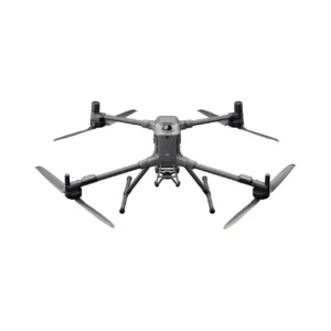
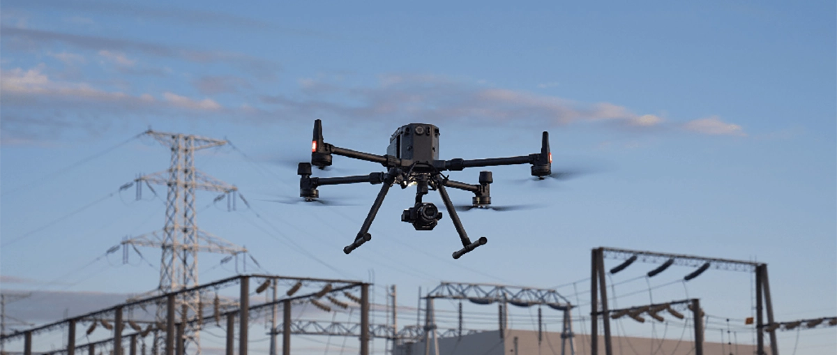
Which drones support the Zenmuse P1?
What lenses are available for the P1?
What does Smart Oblique Capture include?
Does the P1 include DJI Shield coverage?
Pre and post-sales support · 24h express delivery · Certified technical support · On-site demo
★ DJI Gold 5 DealerISO 9001:2015Technical SupportOn-site demo


There are no reviews yet.