


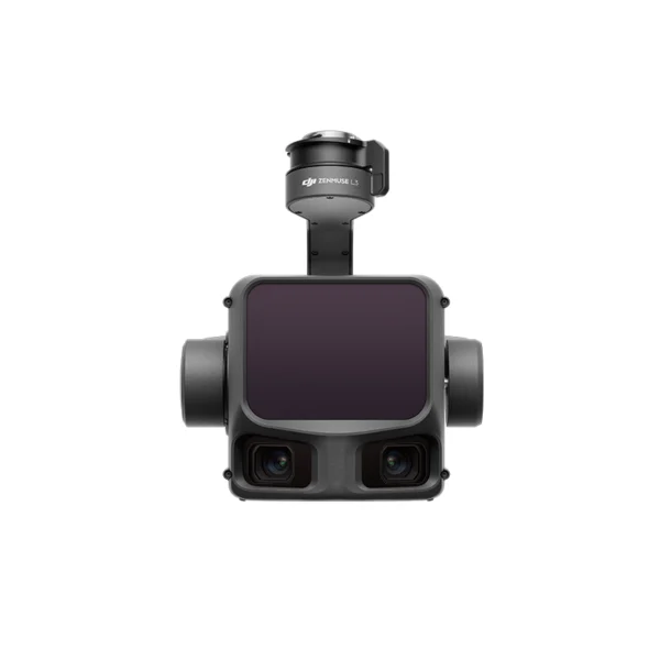
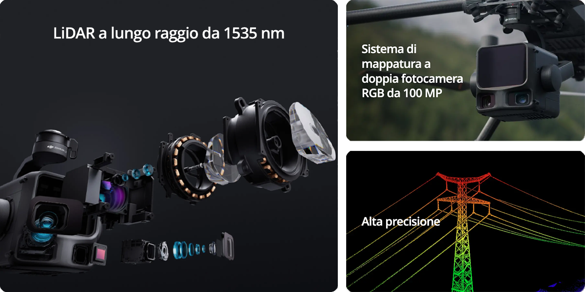
Long-range airborne LiDAR system with 1535nm laser technology, a dual 100 MP RGB camera and a high-precision POS system. Designed for professional mapping with detection capability up to 950 metres even on surfaces with 10% reflectivity.
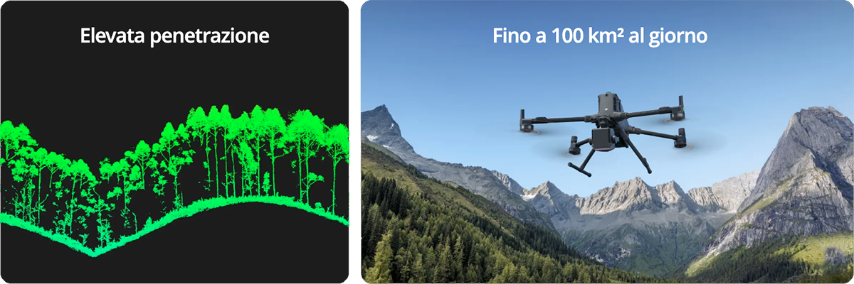
| 950 mMaximum Range | 100 km²Daily Coverage | 2M ppsPoints per Second | 3 cmVertical Precision |
Key advantages
The DJI Zenmuse L3 represents the new generation of airborne LiDAR systems, designed to accelerate geospatial operations with survey-grade precision and extended coverage in single flights.
DJI Zenmuse L3: the future of airborne LiDAR mapping
The DJI Zenmuse L3 represents the new generation of airborne LiDAR systems designed for professional mapping, surveying and monitoring applications. This integrated payload combines a long-range 1535nm LiDAR with a dual 100 MP RGB camera, a high-precision POS system and a 3-axis gimbal in a single compact solution. With coverage capacity up to 100 km² per day and a vertical accuracy of 3 cm at 120m altitude, the Zenmuse L3 turns long-duration surveying projects into efficient operations completable in a single day. At DroneBase, a DJI Gold 5 Dealer certified ISO 9001:2015, we offer the Zenmuse L3 with specialised technical support, pre and post-sales assistance and on-site demo services for professionals in the geospatial, engineering and critical-infrastructure sectors.
Full specifications
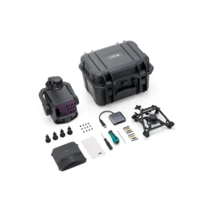
What’s in the box
Who uses it
FAQ
Is the Zenmuse L3 compatible with the DJI Matrice 300 or 350 RTK?
What type of memory card is required for the Zenmuse L3?
What software is included for data processing?
What scanning modes are available?
How much flight time does it provide on the Matrice 400?
Is DJI Care Enterprise protection included?
Pre and post-sales assistance · 24h express shipping · Certified technical support · On-site demo
★ DJI Gold 5 DealerISO 9001:2015Technical SupportOn-site demo









There are no reviews yet.