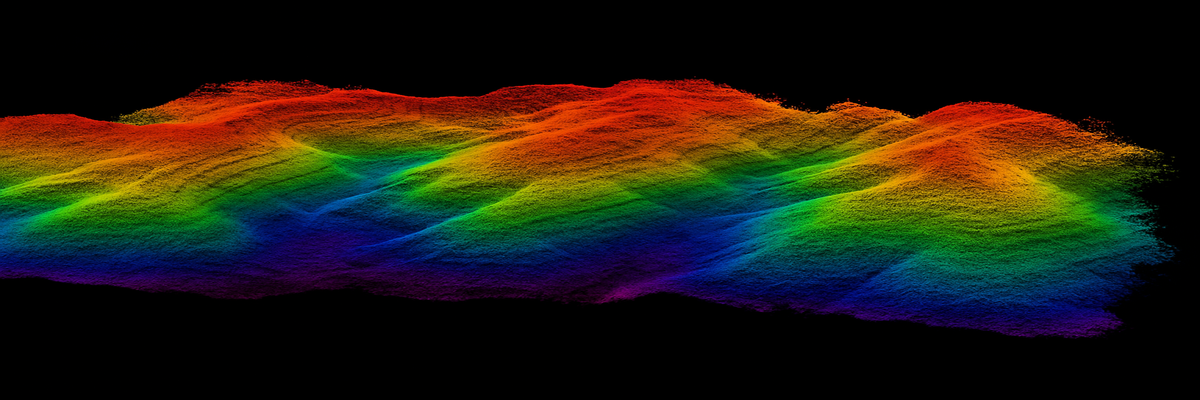
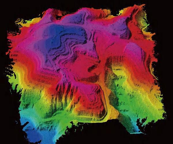
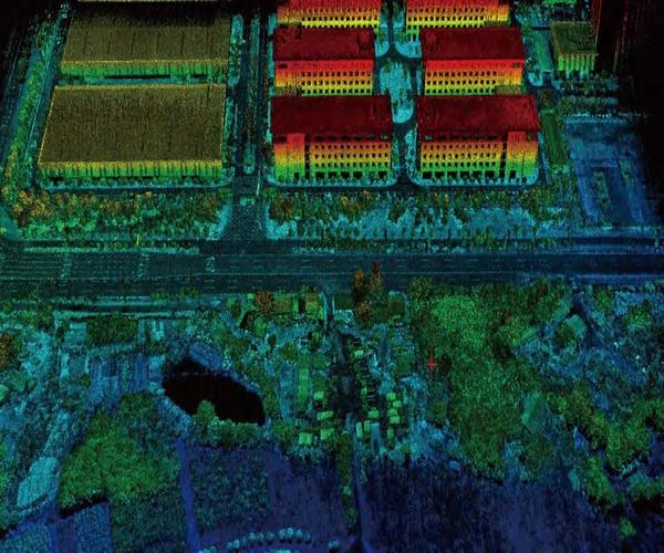
3D Lidar
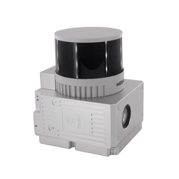
Laser Scanner GS-260X
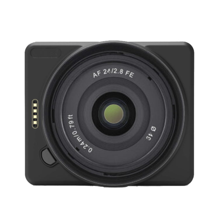
The GS-260X is an ultra-compact 1.1 kg LiDAR for drones, VTOLs and vehicles, capable of generating up to 1.92 M points/s with triple return at 300 m distance. With built-in POS (gSpin 310 at 200 Hz) and synchronized 26 MP camera, it ensures centimeter accuracy and georeferenced photo textures. Ideal for terrain mapping, infrastructure inspections, and smart city projects with “one-key” workflows.
27.899,00 € TAX Included
Disponibile in pronta consegna
IVA inclusa
Paga a rate | Disponibile pagamento MEPA
Garanzia DJI
Ufficiale 12 mesi
Spedizione 24h
Express in Italia
Supporto Tecnico
Pre e post vendita
Reso 14 Giorni
Senza domande

DJI Gold Dealer Certificato
Prodotto originale · Garanzia ufficiale DJI Italia · ISO 9001:2015
Parla con un esperto
Consulente tecnico dedicato — Lun–Ven 9:00–18:00
Chiama


Perché DroneBase
Il partner che non
ti lascia mai a terra.
01 — Garanzia
Garanzia DJI Ufficiale
12 mesi di garanzia completa su prodotto originale. Acquisto certificato da rivenditore DJI Gold 5.
02 — Logistica
Spedizione 24h Express
Ordini entro le 14:00 spediti il giorno stesso. Tracciabile in tutta Italia. Imballaggio professionale.
03 — Supporto
Supporto Tecnico Dedicato
Consulente certificato assegnato al tuo account. Assistenza pre e post vendita senza limiti di chiamate.
04 — Acquisto
Reso Gratuito 14 Giorni
Soddisfatti o rimborsati entro 14 giorni dalla consegna. Politica senza domande, rimborso completo.


There are no reviews yet.