
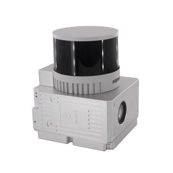
Compact, high-precision LiDAR system for drones and lightweight vehicles with triple return and point density up to 1.92 million points per second. Integrated POS and 26 MP camera deliver centimetre-level accuracy for professional surveying.
| 1.92M pt/sAcquisition density | 300mMaximum range | 26MPRGB Camera | 1.1kgTotal weight |
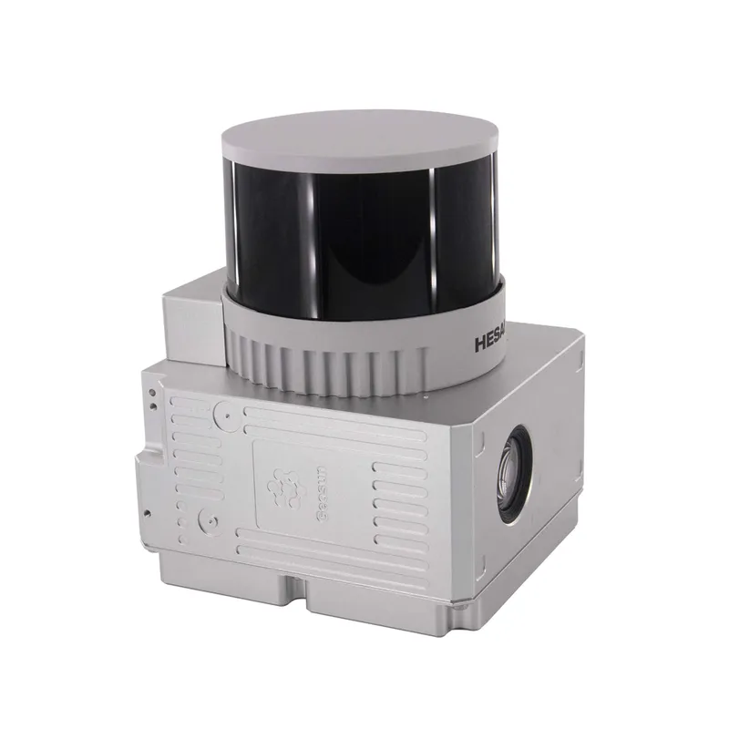

The GS-260H combines the most advanced airborne LiDAR sensing technologies in a compact, versatile system designed to maximise operational efficiency and data quality.
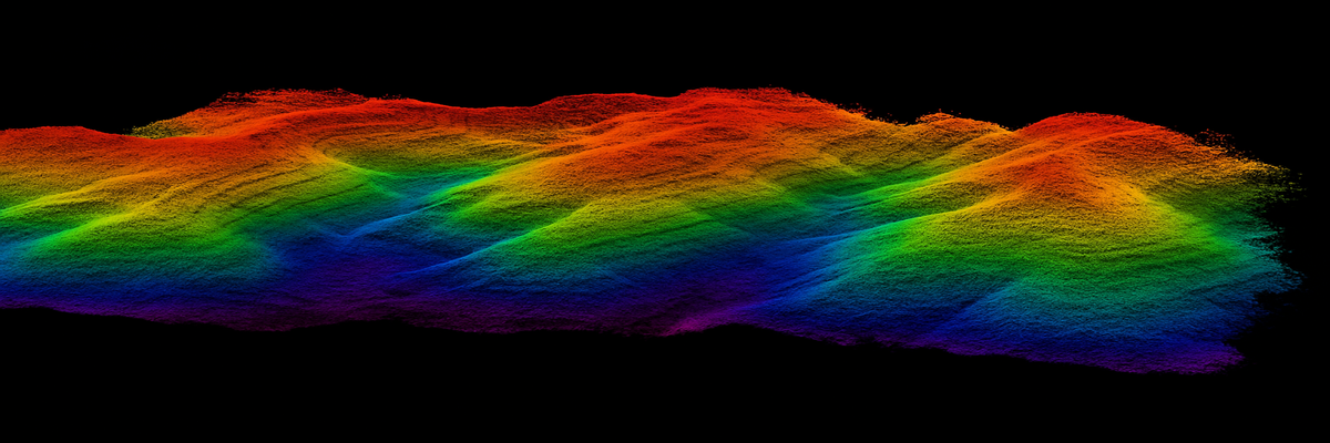
The GS-260H represents the most advanced evolution in airborne LiDAR technology, designed for professionals requiring absolute precision in topographic surveys. With acquisition density up to 1.92 million points per second and operational range of 300 metres, this compact system transforms the 3D mapping process. Integration of the GNSS+INS POS system at 200 Hz ensures centimetre-level accuracy, while the synchronised 26 MP RGB camera enables automatic point cloud colourisation. Ideal for topographic surveys, infrastructure inspections, environmental monitoring and smart city applications. DroneBase, DJI Gold 5 Dealer certified ISO 9001:2015, provides specialised technical support and training to maximise the potential of this cutting-edge professional tool.
Which drone platforms is the GS-260H compatible with?
What accuracy does the positioning system achieve?
How does synchronisation between LiDAR and RGB camera work?
What data formats does the GS-260H produce?
Is processing software included?
What flight endurance can I expect?
Pre and post-sale assistance · 24h express shipping · Certified technical support · On-site demo
★ DJI Gold 5 DealerISO 9001:2015Technical SupportOn-site demo


There are no reviews yet.