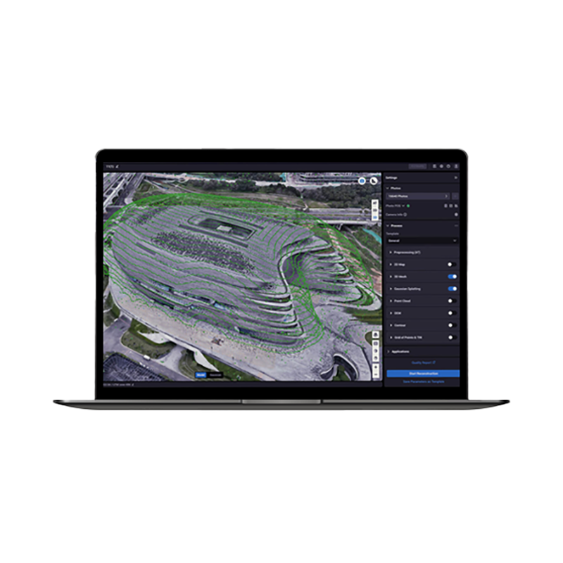
DJI Terra Standard Permanent
DJI Terra Standard (permanent) is DJI’s official software license for flight planning and processing drone data into accurate 2D maps and 3D models. The permanent version provides unlimited access to key functions for surveying, construction, agriculture and digital twin, with extended compatibility to DJI Enterprise drones and integration with DJI Modify.
5.323,99 € TAX Included
Ready to ship – Shipped in 24-48 h
DJI Terra Standard – Permanent License
DJI Terra Standard is the 3D mapping and modeling platform designed by DJI for professionals. The permanent version gives you unlimited use over time, with constant access to key features for 2D photogrammetry, 3D mesh creation, multispectral analysis, and LiDAR processing.
Main functions
- 2D orthomosaics: precise maps from aerial surveys.
- 3D reconstruction: detailed models of terrains and structures.
- LiDAR processing: point cloud and RGB images in one workflow.
- Multispectral analysis: NDVI, NDRE and reflectance maps for agriculture and environment.
- Compatibility: support for Matrice 4E, 350/300 RTK, Zenmuse L2/P1, Mavic 3E/3M and D-RTK 3.
- Integration with DJI Modify for rapid post-processing of models.
Advantages of the permanent version
Unlike the annual license, the permanent version of DJI Terra Standard has no expiration: buy it once and keep access to the software forever, with no renewal fees.
Recommended requirements
- Operating system: Windows 10 or later (64 bit)
- RAM: 32 GB
- GPU: NVIDIA with compute capability ≥ 6.1
- VRAM: 4 GB minimum
Notes
- Some online functions are not available in offline mode.
- Gaussian Splatting is included only in Flagship and Cluster versions.
- Multispectral functions available with Mavic 3 Multispectral and Phantom 4 Multispectral.
Compare available versions
| Feature | Standard | Flagship | Educational* |
|---|---|---|---|
| Agricultural use | ✓ | ✓ | ✓ |
| 2D Reconstruction (field) | ✓ | ✓ | ✓ |
| 2D Reconstruction (urban) | ✓ | ✓ | ✓ |
| Multispectral | ✓ | ✓ | ✓ |
| 3D Mesh | ✓ | ✓ | ✓ |
| LiDAR Point Cloud | ✓ | ✓ | ✓ |
| Terrain Output | ✓ | ✓ | ✓ |
| Gaussian Splatting | — | ✓ | ✓ |
| Electricity Module | — | ✓ | ✓ |
| Supported Devices | 1 | 1 | 10 |
| Authorization | Online/Offline | Online/Offline | Online |
| Validity | 1 year / Permanent | 1 year / Permanent | Permanent |


There are no reviews yet.