DJI Enterprise
DJI Enterprise Drones
Our selection of professional drones meets the needs of photogrammetry, industrial inspection, precision agriculture, logistics, and public safety. Designed with advanced technology and reliability, they provide excellent performance for every mission.
Main models:
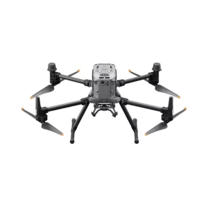
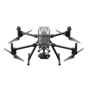
- DJI Matrice 350 RTK: Industrial drone with advanced video transmission, improved control and efficient batteries for complex operations.
- DJI 30 Series Matrix (M30/M30T): High-resolution cameras and advanced sensors, ideal for photogrammetry and inspection.
- DJI Mavic 3 Enterprise Series (M3E/M3T): Compact drones for photogrammetry, inspection and environmental monitoring, with high-precision sensors.
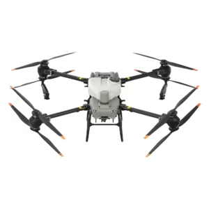
- DJI Agras T50: Agricultural Drone with payload up to 50 kg, designed for spraying and spreading in precision agriculture.
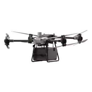
- DJI FlyCart 30: Drone for logistics and rapid delivery, with a load capacity of up to 30 kg and an operating range of 16 km, designed for efficient operations in urban and rural settings.
Main applications:
- Photogrammetry: Creation of 3D maps and orthomosaics.
- Industrial inspections: Analysis of critical infrastructure.
- Agriculture: Advanced crop management.
- Logistics: Freight transportation and rapid delivery.
- Security: Surveillance and emergency management.
With cutting-edge technology and versatility, DJI drones offer reliable performance for the most demanding professionals.
DJI FlyCart 30 (No Warranty)
The new era of cargo transportation begins with DJI FlyCart 30. A highly automated drone with high cargo capacity for long-range flights. Equipped with intelligent functions and maximum signal strength. DJI FlyCart 30 supports two different delivery modes, via box or winch, to meet different transport scenarios. It overcomes traditional logistics limitations by providing a safe, cost-effective and efficient solution. The drone is sold without warranty in accordance with the provisions of paragraph 2 of Article 1490 of the Civil Code.
Drone DJI Agras T50
DJI AGRAS T50 takes drone farming operations to new levels.
DJI Matrice 350 RTK
Main Features:
Includes: 1-year Care Enterprise (Basic) Does not include: DJI TB65 Intelligent Flight Battery NOT included Does not include : DJI BS65 Intelligent Battery Station NOT included
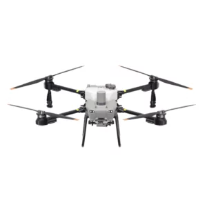
DJI Agras T25
DJI Mavic 3 Multispectral
The DJI Mavic 3 Multispectral Drone is the compact and portable solution for precision agriculture, combining a 20MP RGB, 4/3 CMOS camera and mechanical shutter with a 4-sensor 5MP Multispectral camera for crop analysis: flight time 43 minutes.
DJI Mavic 3 Thermal
The DJI Mavic 3 Thermal is an advanced drone with thermal camera, CMOS sensor, RTK accuracy, and long-distance transmission. Ideal for inspection, search and rescue, and environmental monitoring.
DJI Mavic 3 Enterprise
The DJI Mavic 3 Enterprise is an advanced professional drone ideal for photogrammetry, industrial inspections and environmental monitoring. Equipped with high-resolution cameras, advanced sensors and long flight range, it offers outstanding performance for complex operations.
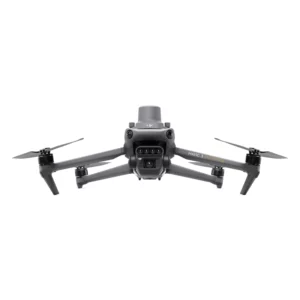
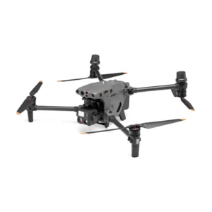
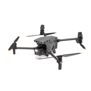
Drone DJI Matrice 30T
Drone DJI Matrice 30
DJI Matrice 30 is a professional drone for industrial and commercial applications. With high-resolution cameras, advanced sensors and long range, it is ideal for photogrammetry and inspections. Compatible with DJI Dock 1 for automatic charging and efficient mission management.
Accessories and payload available:
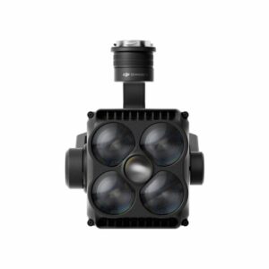
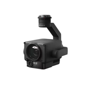
DJI Zenmuse cameras offer advanced solutions for image and data capture in various professional sectors. Models such as the Zenmuse H20, H30, L2 and P1 combine precision, versatility and reliability, meeting the needs of industries such as construction, industrial inspection, agriculture and public safety.
Main features:
- Superior image quality: State-of-the-art sensors to capture high-resolution images and detailed video.
- Multi-sensor functionality: Models such as the Zenmuse H20 and H30 integrate wide-angle cameras, zoom cameras, infrared cameras and laser rangefinders, providing a complete and detailed view.
- Specialized sensors: The Zenmuse P1 features a full-frame sensor, ideal for photogrammetry and creating accurate 3D models.
- Advanced LiDAR Technology: The Zenmuse L2 integrates a framing-based LiDAR system, a high-precision IMU, and an RGB camera with a 4/3 CMOS sensor, enabling accurate and efficient geospatial data acquisition.
- Integration with DJI drones: Compatible with platforms such as the Matrix series, they ensure an integrated workflow.
- Environmental Resistance: Designed to operate in extreme conditions, with robust designs and operational capabilities in harsh environments.
Main applications:
- Construction and Engineering: Creating 3D models and monitoring construction progress.
- Industrial inspections: Analysis of critical infrastructure such as towers, pipelines and power plants.
- Precision agriculture: Crop condition monitoring and anomaly detection using thermal and multispectral sensors.
- Security and emergency management: Real-time surveillance and mapping to support rescue operations and ensure public safety.
- Mapping and Photogrammetry: Generation of orthomosaics, 3D models and detailed maps for strategic planning and spatial analysis.
By integrating advanced technologies and optimized designs, DJI Zenmuse cameras such as H20, H30, L2 and P1 are essential tools for professionals who need accurate data, operational versatility and reliable performance.
Zenmuse H30T Infrared Density Filter
The Zenmuse H30T infrared density filter improves your aerial footage by reducing the effect of glare and controlling light in high exposure conditions. Ideal for achieving sharp and detailed images, it offers precise control of light and image quality for Zenmuse H30T drones. Temperature measurement range in Low Gain mode from 0 °C to 1600 °C and in High Gain mode from -20 °C to 450 °C.
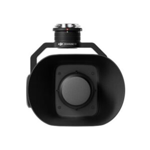
DJI Zenmuse V1
Zenmuse V1 represents DJI’s first audio system designed for multi-load aerial platforms, offering high sound power, clear voice transmission and an effective range of up to 500 meters. It is the ideal solution for real-time communications during security operations, emergencies and complex missions.
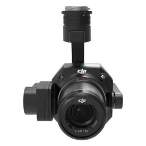
DJI Zenmuse P1
Includes DJI Shield coverage for one year Accuracy without GCP: 3cm horizontal/5cm vertical High efficiency: Coverage of 3 sq. km in a single flight Full-Frame 45 MP sensor 3-axis gimbal Smart Oblique Capture Mechanical shutter up to 1/2000th of a second TimeSync 2.0 microsecond synchronization
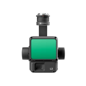
DJI Zenmuse L2 3D Lidar (Copia)
Zenmuse L2 integrates LiDAR frames, an in-house developed high-precision IMU system and a 4/3 RGB CMOS mapping camera, providing DJI flight platforms with more accurate, efficient and reliable geospatial data acquisition. When used with DJI Terra, it offers a turnkey solution for 3D data collection and high-precision post-processing.
DJI Zenmuse L2 3D Lidar
Zenmuse L2 integrates LiDAR frames, an in-house developed high-precision IMU system and a 4/3 RGB CMOS mapping camera, providing DJI flight platforms with more accurate, efficient and reliable geospatial data acquisition. When used with DJI Terra, it offers a turnkey solution for 3D data collection and high-precision post-processing.
DJI Zenmuse H30 Care 1 Year
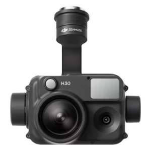
DJI Zenmuse H30 Care 1 Year
H30 series payloads can be equipped with M350 RTK/M300 RTK and can handle operations in the areas of public safety, infrastructure inspection, agricultural and forest fire prevention, and wildlife protection.
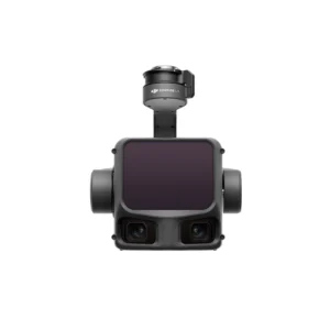
DJI Zenmuse H20N
The Zenmuse H20N integrates starlight sensors into its zoom and wide-angle cameras. Pairing this with dual-zoom thermal cameras and a laser rangefinder makes for a versatile hybrid payload that rises to the occasion.
DJI Zenmuse H20
The DJI Zenmuse H20 is an advanced camera designed for drones, featuring a compact and lightweight design. Integrating several features in one unit, such as optical zoom, thermal imaging, and a precise laser rangefinder, it is ideal for industrial inspection applications, environmental monitoring, and rescue operations.
DJI Matrice 350 RTK H30T Combo – Care 1 Year
Includes: 1-year Care Enterprise (Basic) and DJI Zenmuse H30T
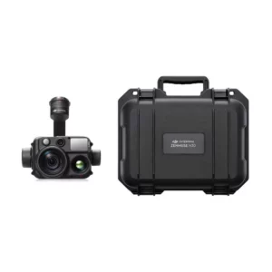
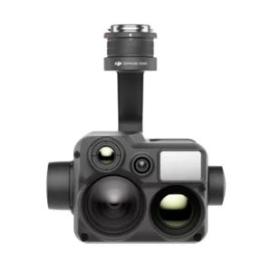
DJI Zenmuse H30T
Software
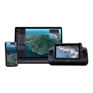
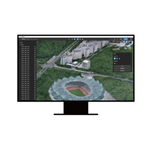
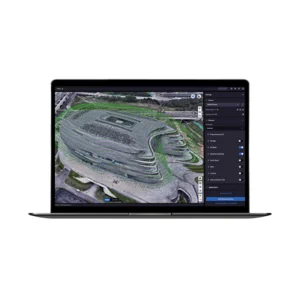
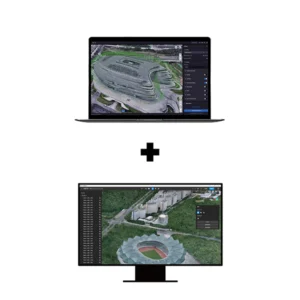
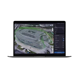
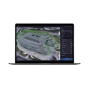
Advanced drone management software solutions are revolutionizing industries such as construction, agriculture, logistics, and emergency management, offering cutting-edge tools to streamline operations and maximize efficiency. Platforms such as FlytBase, DJI Terra, and DJI FlightHub 2 stand out for their ability to transform raw data collected from drones into useful and easily accessible information.
Main features:
- Mission planning and automation: Creating autonomous flight paths and tasks to collect accurate data and optimize operations.
- Data processing and analysis: Generation of digital maps, 3D models and detailed reports with speed and accuracy.
- Centralized operations management: Monitoring and coordination of drone fleets from a single cloud or local platform.
- Real-time collaboration: Sharing data, live video, and analysis between teams in the field and in the office.
- DJI hardware compatibility: Seamless integration with DJI drones to ensure a smooth and intuitive workflow.
- Advanced security: Data protection through encryption and geofencing tools for secure operations.
Main applications:
- Construction and Engineering: Monitoring construction progress and creating detailed models to plan interventions.
- Precision agriculture: Analysis of crop status to optimize resource use.
- Logistics: Delivery automation and transportation optimization.
- Emergency management: Rapid mapping of disaster areas to support relief operations.
- Security and surveillance: Monitoring of sensitive areas with autonomous drones and advanced analytics.
These tools make it possible to centralize and optimize every phase of drone work, from flight to data collection and analysis, improving team collaboration and ensuring reliable and professional results.
DJI FlightHub 2 Addon LiveStream 10,000 Minutes
The DJI FlightHub 2 Addon LiveStream offers 10,000 minutes of streaming for real-time monitoring of your flights. It optimizes drone management with high-quality streaming and advanced security, ensuring precise control and a clear view of air operations.
DJI FlightHub 2 Addon Storage 500 Gb
Storage space upgrade package
DJI Flighthub 2 offers business users free 5 GB storage space, which can be used to store images, videos, flight paths, models, etc. You can purchase this package to increase the storage capacity.
DJI FlightHub 2 Pro 1 Month
Free device bindings and quotas
Livestream: additional 2000 minutes for each connected drone, plus 20000 minutes for each connected Dock.
Real-time mapping: additional 3000 mapping images for each connected drone.
Cloud storage: additional 200 GB storage space for each connected Dock.
DJI FlightHub 2 Pro 12 Months
Free device bindings and quotas
Livestream: additional 2000 minutes for each connected drone, plus 20000 minutes for each connected Dock.
Real-time mapping: additional 3000 mapping images for each connected drone.
Cloud storage: additional 200 GB storage space for each connected Dock.
DJI Modify Flagship Permanent
DJI Modify Flagship Permanent is the professional editing software developed by DJI for rapid and advanced 3D model refinement. With the permanent license you have unlimited access to automatic cleaning, optimization, and correction tools built into a continuous stream with DJI Terra.
DJI Terra Educational Permanent (10 Devices)
DJI Terra Educational Permanent (10 devices) is the dedicated educational version of DJI’s photogrammetry and modeling software. With a lifetime license and support for up to 10 devices, it includes all major features-2D maps, 3D models, LiDAR, multispectral-as well as Gaussian Splatting and electricity module, offering a complete environment for education and research.
DJI Terra Flagship + Modify Flagship Permanent
DJI Terra Flagship + DJI Modify Flagship (permanent) is the most comprehensive package in the DJI suite. With the lifetime license you gain access without expiration to all of DJI Terra Flagship’s features-Gaussian Splatting, electricity module, LiDAR, multispectral, multi-device management-combined with DJI Modify Flagship‘s advanced capabilities to professionally edit, optimize, and refine 3D models.
DJI Terra Flagship Permanent
DJI Terra Flagship (permanent) is the most comprehensive version of DJI’s 2D/3D photogrammetry and modeling software. It includes all the features of DJI Terra Standard with advanced tools such as Gaussian Splatting, electricity module and multi-device support. With the permanent license you have unlimited access without expiration or renewal.
DJI Terra Flagship Permanent (Offline)
DJI Terra Flagship (Permanent – Offline) is the most advanced version of DJI’s 2D/3D mapping and modeling software that can be used without an Internet connection. With a lifetime license you have unlimited access to all Standard features and Flagship exclusive tools, such as Gaussian Splatting, electricity module and multi-device management.
Fino al 20% di Sgravi Fiscali
L’obiettivo di industria 4.0 è quello di incentivare le aziende italiane che investono in beni strumentali per migliorare, attraverso la digitalizzazione, i propri processi produttivi.
Questo si traduce in vantaggi Fiscali da una parte e Produttivi dall’altra soprattutto per:
- Startup
- Liberi professionisti
- PMI
- Pubblica Amministrazione
- Forze dell’Ordine
Noleggia il tuo drone da 150€/Mese
Paga in comode rate
– Zero down payment, easy and quick to apply
– All-Risk helmet insurance on drone and accessories
– Small and convenient installments from 24 to 60 months
– Lower costs than a loan or lease
– Asset immediately available
– 100% tax-deductible installment by installment
– Possibility of final redemption of asset
– Possibility of early termination of contract
*Disponibile solo per titolari di partita iva con almeno 18mesi di attività
Call Us Now
for a free consultation on Hardware,
Software and ENAC.
Book Now
your free phone consultation with our Experts.
